Babies and Mountains and Baby Mountains

July 25, 2012 at 7:33 am

It’s easy to follow a seasonality in life in Colorado. In the winter, we play in the snow and visit the high glaciers or desert rock climbs. In the summer, we climb the windy plains of Wyoming or alpine granite on Lumpy Ridge. Which is why, I think, that Mark and I have snowshoed the Montgomery Pass trail twice, but had never seen it in the summer until last weekend.

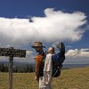
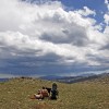
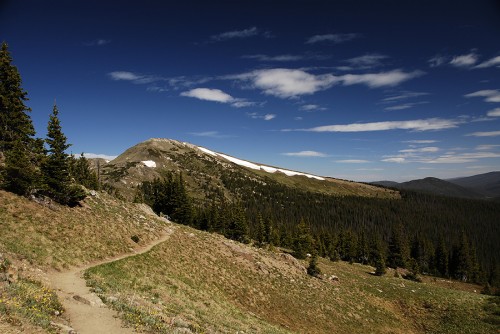
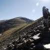
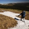
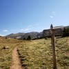
Yey, we made it to the pass!

The area surrounding Cameron Pass in northern Colorado is a beautiful little playground. It’s two hours from most civilization in any direction, and sits at the wild northern boundary of Rocky Mountain National Park. But, despite it’s remote and untamed feel, there are a number of beautiful campgrounds and fun well-maintained trails that make it a nice location for families as well.

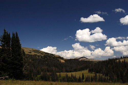
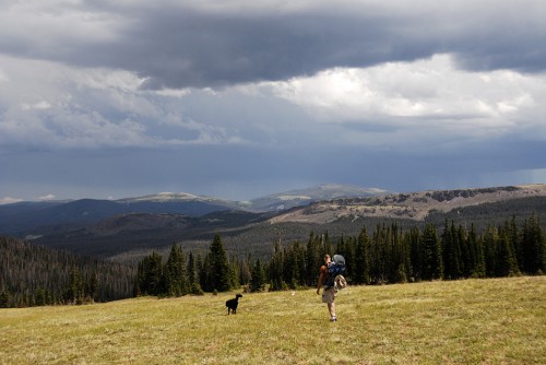
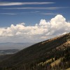
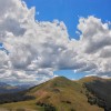
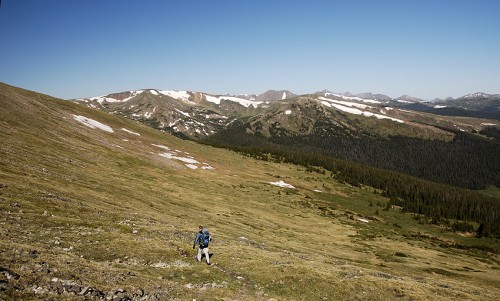
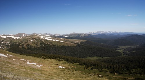
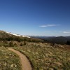
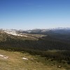
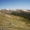
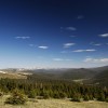
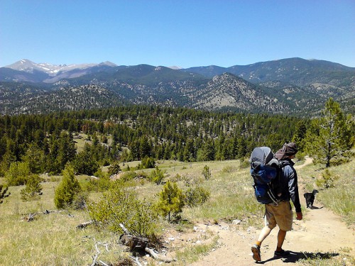
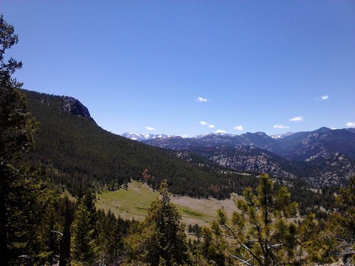
Looking north at the Rawah Wilderness

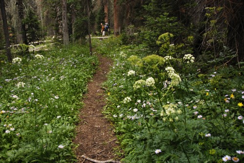
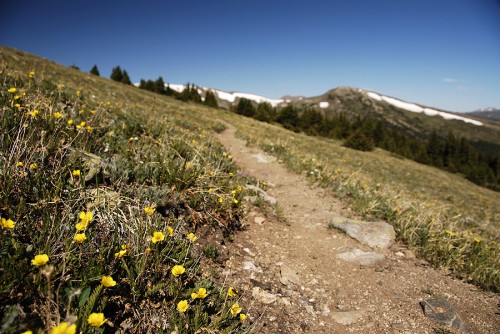
The Montgomery Pass trail starts as a barely marked and weedy trail just across Hwy 14 from the Zimmerman Lake trailhead. It climbs about 1,000ft in a mile and half, which makes it an aerobic trail, but not one outside the reach of most people. The trail widens to nearly road-width as it climbs up the side of the southern Snowy Range, and passes through old growth lodge-pole pines and fields of wildflowers.

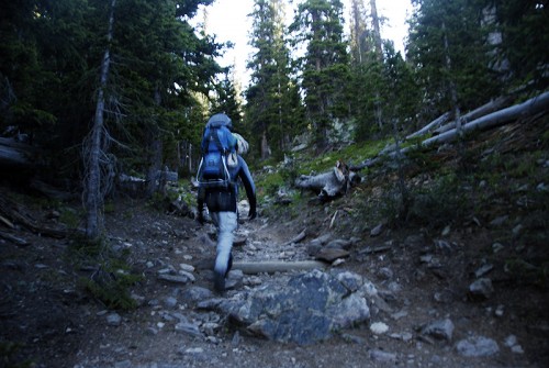
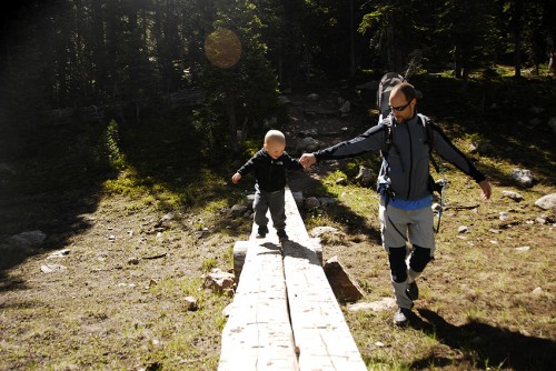
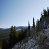
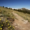
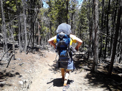
Hiking through a beautiful old forest
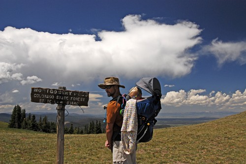
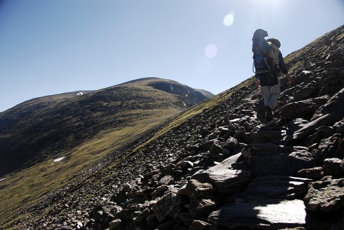
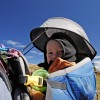
As we hiked on Saturday afternoon, G napped in the backpack and we passed one other group of hikers. It was a family of six or so people, with two kids being tugged up the trail by a very excited dog. We managed a good pace on the way up – about 2.5 miles per hour – and were at the pass pretty quickly. We then climbed up to a small summit just north of the pass, so we could say we stood on top of a peak that day.

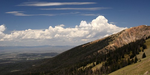
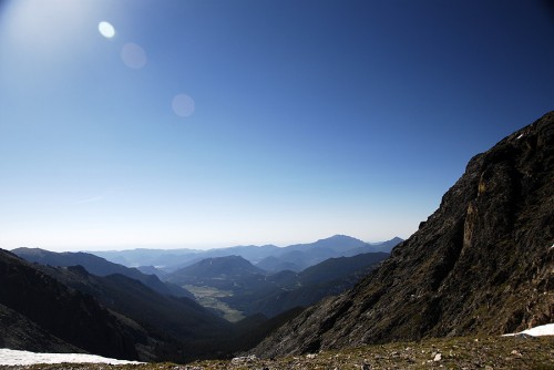
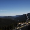
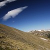
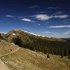
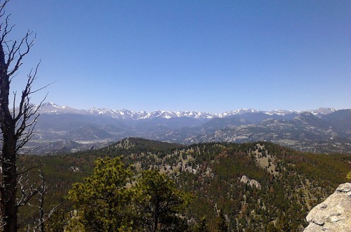
View of the Platte River Valley from 11,000ft


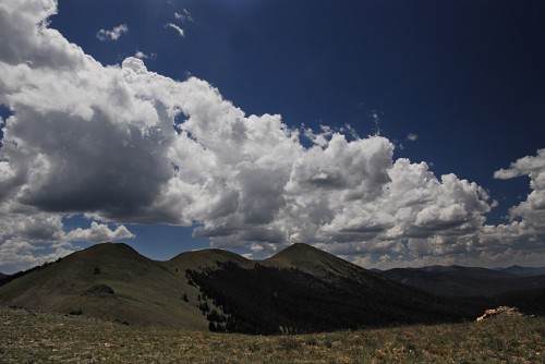
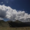
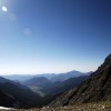
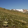
Looking south at the Diamond Peaks and Neversummer range

We ate some lunch up on top of that little baby-mountain. We let the kiddo run around for a while, took a bunch of pictures and watched grey clouds grow in the eastern sky. The Colorado monsoon has kicked up a bit in recent weeks, so we knew we likely in for storms again that afternoon.

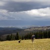
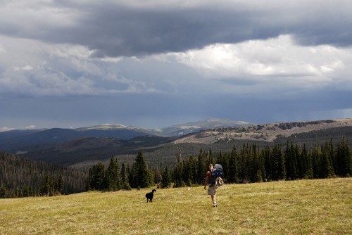
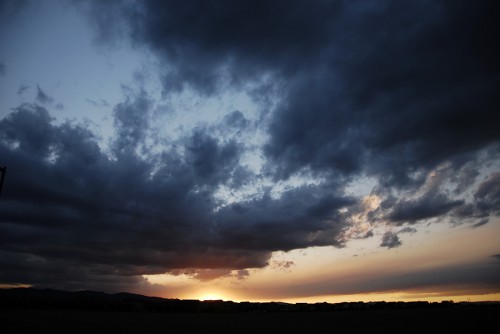
Hiking down before the storms

As we packed up, the family we passed on the trail appeared at tree-line and quickly arrived at the sign marking Montgomery Pass. They celebrated and took a bunch of pictures and were heading back down as Mark and I reached them, once again. We complemented the kids on making it all the way to the pass. This family had just hiked up to above 11,000ft on a remote mountain pass, and they acted like it was all just another fun day in the sun.

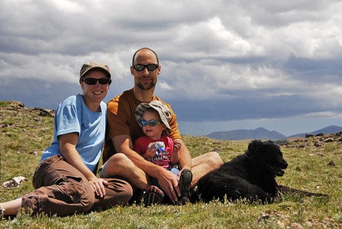
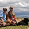
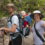
Family photo time!

So, if you’re heading to the Rockies and want a quiet, beautiful spot for adventure, definitely check out the camping and hiking around Cameron Pass. We love having this as our little “backyard.”

[iframe width=”400″ height=”300″ class=”my-iframe-class” src=”https://maps.google.com/maps/ms?msa=0&msid=215682979202177479917.0004c5750504a0c06705d&ie=UTF8&t=p&ll=40.542635,-105.895329&spn=0.039135,0.051498&z=13&output=embed”]

If They Can Do It…

July 24, 2012 at 5:38 am

One of my greatest fears before becoming a parent was that MY life would be over the minute our progeny exited my womb. I was sure that we’d never be able to get outside, adventuring, climbing, camping or hiking like we had before. I have heard so many stories from parents over the years that started with “I used to climb all the time, but then we had kids and…” and you know how that sentence ends, right?

Well, it turns out that sentence ends in a lot of different ways for different people. And while we have slowed down a bit over the last year and half, we have still made it outside, been climbing and had lots and lots of adventures since our kiddo arrived.

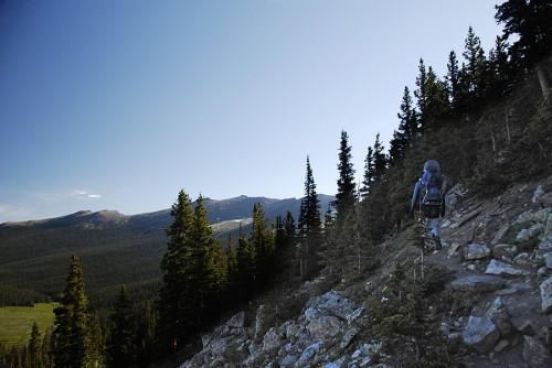
Mark, G and Liv the doggie hiking back down to tree-line

And there are plenty of other families out there with surprising endings to that sentence. I have found immense inspiration and tons of helpful information from the blogs and websites of other outdoor-loving families. This is why I built an entire Resources Page into the newest version of this blog. And today, many of these bloggers are listing out their favorite sites for stories, stoke and info on adventuring with kiddos in tow, so I thought I’d do the same.

If you’re wishing you could finish that sentence a little differently than you have been, check out all of these awesome parents who have done it too!

  • Active Kids Club – Our mission is simple… We love to have fun outside with our kids, regardless if it is swimming with manatees in Florida, exploring Central Park in New York or just simply being outdoors PLAYING in your own backyard. We try our best to provide you with the best information about simple outdoor ideas, Fresh Air Living (lifestyle) and Cooking with Nature.
  • Adventure Tykes: Little Feet, Big Adventures – Here you will find motivation and inspiration along with hard won experience to help you engage in outdoor activities with your tykes, such as camping, hiking, rock climbing, biking, picnic dinners and outdoor play. Gear reviews on the latest and greatest gear along with giveaways are featured. We hope you find the information beneficial and inspiring, and that you and your tykes get out and explore the great outdoors together.
  • AKontheGO – Our blog was designed to encourage and promote family travel in Alaska. We are, at this time anyway, the only blog/website with a decided emphasis on family travel in Alaska.
  • Backcountry With The Kids – A blog about our family’s attempt to live an active outdoor lifestyle in order to reap the benefits of fresh air, exercise, a close relationship with nature and time with each other. While our trips tend to take us into the backcountry by canoe, we also love hiking, cross-country skiing, climbing, cycling and any other adventures that come our way. Follow along for inspiration, tips, tricks and ideas!
  • Awesome photo from Backcountrywiththekids.com!

  • The Brave Ski Mom – Family skiing tips, unbiased resort and mountain reviews, off-season biking and hiking. We’re a western Colorado family that has seen it all and done a lot. I don’t just share our adventures. I provide information to help you fuel your own adventure — from skiing to parenting.
  • Bring the Kids – A blog that proves that you can still have adventures after you have kids. We love to camp, raft, ski, hike, and climb and love bringing our kids along so they can enjoy these things too!
  • Climb Run Lift Mom – This is a blog about my ongoing journey to be healthier and fitter and sharing that healthy lifestyle with my children as well. It also chronicles my adventures in the great outdoors and how I share the experiences with my children.
  • Cragmama – An online resource for fellow nature enthusiasts that believe starting a family doesn’t mean the end to outdoor adventures!
  • Family Adventures in the Canadian Rockies – Have toddler and have not slowed down! This blog seeks to chronicle the joys and challenges of taking kids hiking, camping, backpacking, skiing and all-out exploring in the Canadian Rockies.
  • Love this photo from Family Adventures in the Canadian Rockies!

  • Go Explore Nature – All about connecting kids & families with nature, in your own backyard and beyond. You’ll find everything from tips on bird watching and backyard camping to ideas for backyard nature play. Happy exploring!
  • The Kid Project – This blog is ultimately the product of an ongoing love story and journey. As a family, we want to live an adventure together. We want to play together. We want to live life and grow together. And we are willing to fail most of the time for the times of sweet sweet success. Our goal is to inspire families to get outdoors together, to provide gear reviews [for better or worse], family-friendly locations, posts/interviews from kindred spirits we’ve met along the way and encouragement on the road of parenting.
  • A Little Campy – The Campy Mom’s Guide to Family Camping. From pitching tents to pitching fits. We share camping tips, camping recipes, gear reviews and a lot of laughs. Join us there anytime- around the campfire.
  • Nature For Kids – At the core, we provide encouragement and ideas concerning wholesome outdoor recreation for kids and their parents. But when you break it apart you’ll see lots of photos and a lot of our first hand experiences in the outdoors with our 4 kids, from water and snow sports to biking, hiking, rock climbing and camping. You’ll also see outdoor gear spotlights and giveaways. We like to throw in some outdoor cooking recipes too.
  • A sweet moment from NatureForKids.net!

  • Outsidemom.com – The internet already had “design mom”, “cooking mom”, “coupon mom”, even “tanning mom”. What it needed was “outside mom”. Outsidemom.com is a blog of tips, stories, pictures, activities and random tidbits of information for parents who also love spending time in the outdoors with their families.
  • Skedaddle – Getting the family outside, no matter the weather. Tips on gear, playground reviews in Alaska and articles about making outdoor play accessible to everyone!
  • Tales of a Mountain Mama (Family) – We aim to help inspire families to get outdoors and adventure, even with young children. We share our stories from out on the trails and in the mountains, provide tips and tricks, and welcome feedback from our readers! We also happen to be big believers in the fact that sometimes an investment in great gear is a worthwhile step in helping getting the entire family out. Watch for a diverse make-up of honest gear reviews and giveaways. Finally, we love to feature weekly guest bloggers and experts to round out our own knowledge and experience.
  • Velo Mom – This is the place I share our family bike adventures, highlight inspirational families and kids on bikes, discuss exceptional products, great rides and the latest news.
  • Walk Simply – Our goal is to inspire others to get outside and walk and view the world up close. Topics include: walking and hiking with and without the kids, and is mostly centered in southern California.
  • Kids and Love at WalkSimply.com!

Au Bord de la Mer a la Plage

July 6, 2012 at 7:00 pm

When I was younger, we took year after year of week-long family vacations to the Outer Banks in North Carolina. When I was 16, my brother and I took a fast little sailboat out in the sound, and raced through choppy waves and high winds. When I was 17, I sat on the beach and watch tanned surfer boys play in the waves. When I was 18, I bought a blue coffee mug that I was sure would help get me through long college study sessions.

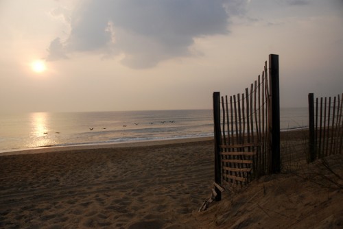
The Outer Banks of North Carolina

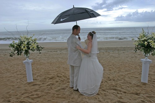
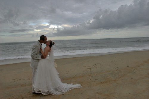
Later, I married an awesome tan boy on that same beach, and I still have that coffee mug.

Mark and Katy, married on the beach

This summer, we brought the whole family back for a week in an amazing beach house right along the shore. This time, we had a new family member!

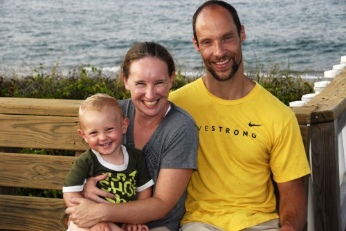
Mark and Katy, now plus one!

It’s amazing how much has changed, and how much has stayed the same, since we first started these beach vacations. I have no digital pictures, no blog posts or Facebook updates from those old trips to remember them by.

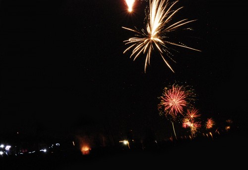
Fireworks shot off for miles along the beach on the 4th of July

And this time around, I made some beautiful pictures, but the most special moments did not get caught on film.

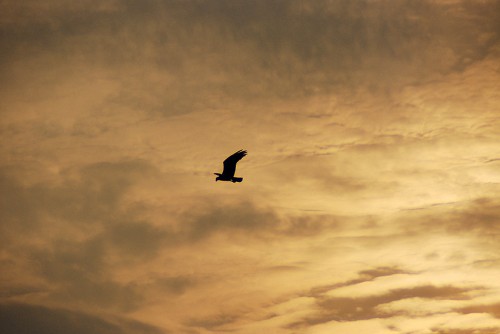
Osprey hunting at dawn

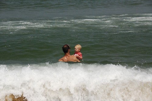
Watching G squeal with fright and joy when the first wave chased him away from the ocean.

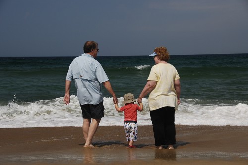
Playing in the surf with Grandma and Grandpa

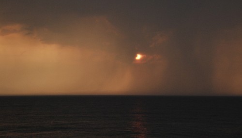
Waking up to a storm over the ocean, and seeing four bolts of lightening strike the waves at once.

Sunrise on a stormy morning

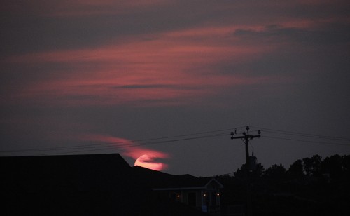
Hanging out on the porch with my family in the cool breeze of an ocean night, waiting for a full moon to rise out of the haze.

Sunset and beach houses

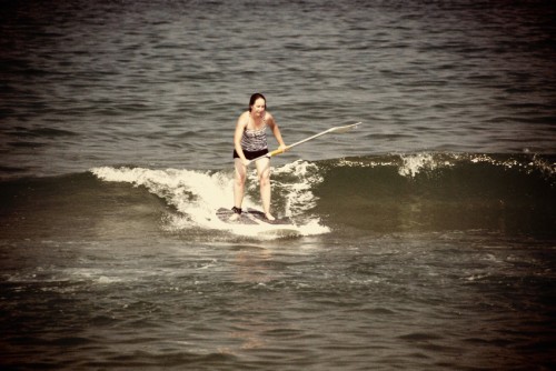
Being surrounded by three big dolphins that came over to check me out on my stand-up paddle board.

Kate surfing baby waves with the SUP

A quiet dinner with Mark in the restaurant where we held our wedding reception.

Mark and G in the waves

I still love this place.

Life is good on the beach

We Love Our Heroes!

July 1, 2012 at 11:01 am

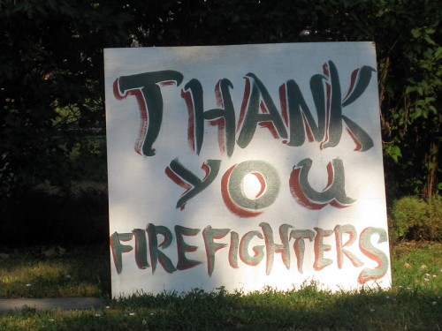
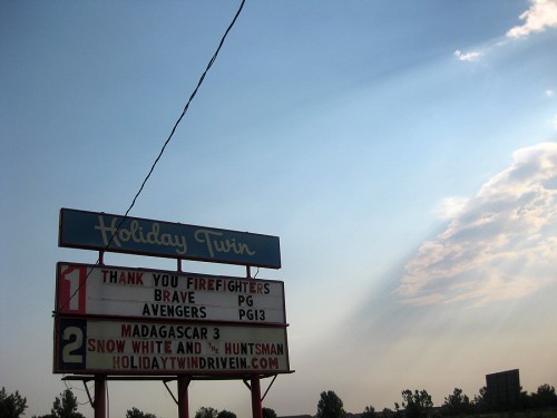
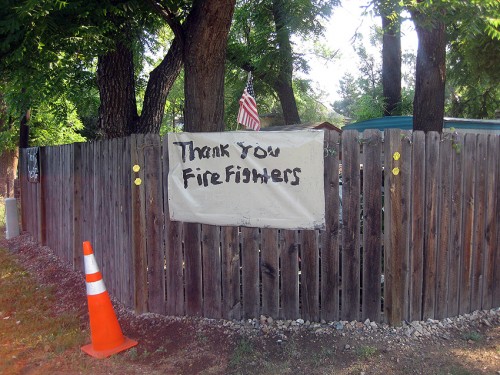
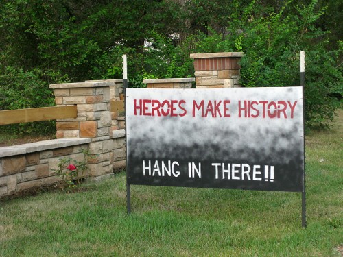
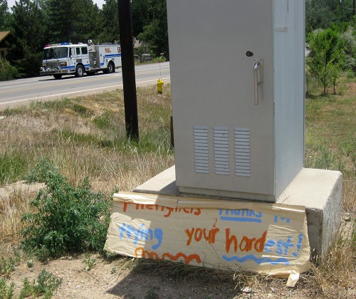
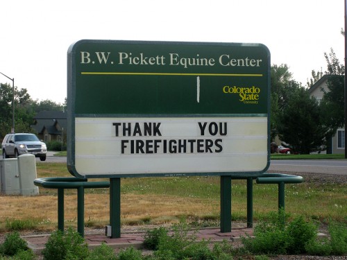
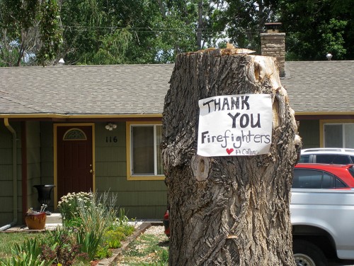
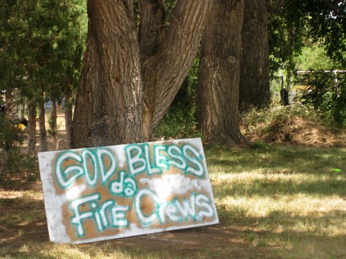
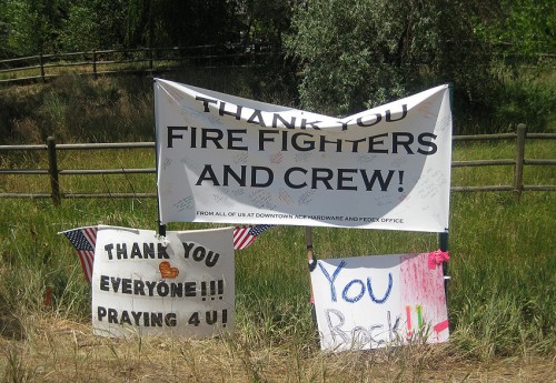
Signs from around Fort Collins at the end of June 2012.


There’s another collection at the Coloradoan: Thank You Signs For Fire Fighters.

The High Park Fire
Started: June 9, 2012 by a lightening strike
100% Containment: July 1, 2012
Burn Area: 87,284 acres (137 square miles)
Highest Number of People Fighting: 2,037
Estimated Cost: $36.4 million dollars
Homes Lost: 259
Lives Lost: 1

High Park Fire Update: Mop-Up Efforts

June 29, 2012 at 12:15 pm

It’s been about two weeks since I wrote about the explosion of the High Park fire, just west of our Northern Colorado town. In that time, it has burned another 30,000 acres, and most estimates of the burn area are near 90,000 acres (which is 140 sq miles or 3.9 billion square feet if you want to re-carpet it). There have been 259 homes lost and one person killed by this huge fire, which put it as the second worst in the history of the state of Colorado… for a while.

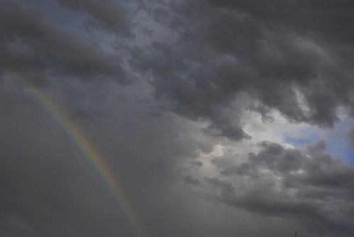
For the last few days, though, the smoke plume has dissipated and the skies have begun to cloud over for evening rain showers again. Our hopes and our saving graces are in the hard work of the amazing fire fighters we have out here, and the summer rains that should start coming again in July.

A rainbow means RAIN!

While we, in Fort Collins, spent most of the month of June watching smoke plumes fill the skies, the rest of Colorado was watching us with anxiety. This week, the tables have turned and terrible fires are spreading through Estes Park, Colorado Springs and even parts of Boulder. As our fire reaches towards containment and people are returning home, thousands are running from the flames in other parts of our state.

Having seen it all first hand, it’s hard to watch it happening again.

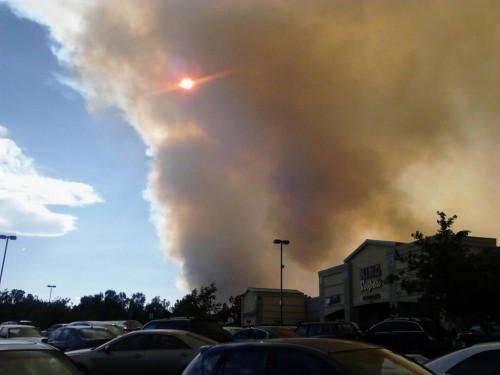
Just another smokey Saturday in Fort Collins

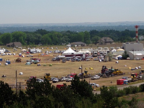
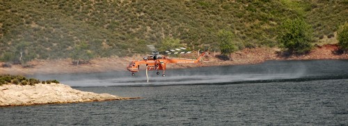
We’ve learned a lot from our monster fire. I’ve been driving past the incident command post every day on my way into work, and I’ve seen military vehicles, heavy machinery, and many huge helicopters up close and personal. I watched helicopters fill up with water from the reservoir and try to save homes. I had to stop and let a HEMTT make a wide right turn in the middle of the road yesterday. I’ve seen firefighters covered head to toe with black ash, standing outside of their tents, and staring up at that huge, ever-present plume of smoke.

High Park Fire Incident Command Post view from my office

We’ve all been reading about daily progress fighting this fire, and learned about how to fight and when to let it burn. We’ve learned the difference between direct and indirect firelines, about back-burning, retardant slurry and mop-up. We’ve learned the difference between containment (a fire is unlikely to spread, but still burning) and control (the fire is considered “out”).

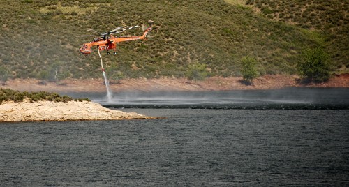
Helicopter pulling water from Horsetooth Reservoir

Taking off with a full load!

We’ve had an “in flux” of wildlife in town, including several moose. One swam all the way across Horsetooth reservoir and wandered down into the forests near my office. Another was found foraging in a parking lot near Mark’s office 25 miles away!

So, here comes the end of June and the beginning of July! Our fire is at 85% containment, but the mountains west of town still smolder and burn. Now that one firefight is over, the crews are starting to head south to face the next one head-on. People in Colorado Springs are facing even more fear and devastation. Our hearts go out to them.

Orange glow at sunset from distant smoke plumes

Hiking Chapin Pass

June 19, 2012 at 9:06 am

It was 6a, and G rolled over in the camper and started talking about trucks into his blanket. Time to get up.

We all crawled out of bed and hurried along our morning rituals as quickly as possible: eggs, diaper, coffee, pants, water bottles, hiking boots. Today, we were going to take G higher than he had ever been. We were going to attempt to climb Mt Chapin, a 12,454ft peak that is the southern most of the Mummy Range.

We had camped all weekend in Rocky Mountain National Park. The day before we climbed with friends at Lilly Lake. We ticked off 3 pretty climbs in scattered rain showers, G scrambled over the tallus at the base of the crag, and I forgot my camera (again).

So, we should have been acclimated. We should have the fitness to hike the two miles to the summit of this mountain. We should have all of the gear we needed, and maps and gps’s and heavy fleeces. We were about to learn that all the “should”s in the world might not get you to the summit.

Hitting the Chapin Creak trail at 7:45a

The trailhead for Mt Chapin is about 7 miles up the narrow, switch-backed, one-way Old Fall River road. We arrived at the trailhead a little late, and started hiking around 7:45a. The first part of the trail climbed steeply from the road. Mark started at a blistering pace, and I had to ask him to slow down before too long. There were several very steep sections of trail that were a little nerve-wracking with G in the backpack, but the views got better and better as we climbed higher and higher.

Mark and G hiking the steep, rocky trail

In less than a mile, we reached the end of the maintained trail. Here the trail branched left and right, and the sign clearly indicates we needed to head right for the summits, so we did.

From this point on, we hiked through the edge of tree line, past alpine lakes, and into an increasingly gusty wind. The trail headed up the side of Mt Chapin, and we started into some class 2 sections right as the wind really started picking up.

Climbing the steep class 2 sections of trail in high wind near 12,000ft

We were crossing into the 12,000ft range when the wind REALLY hit. We had gusts so strong it was difficult to keep standing. I put a hat and hood on G to protect his ears. He buried his face in his blanket and fell asleep. Mark and I stumbled over the rocky trail as the wind howled by. After 20 minutes of working hard to keep our footing, Mark turned around and said “I’m not having fun any more.”

We double checked that G was alive, warm, and still napping, and then finished up the trail to the saddle. The views east were hazy with smoke and morning mists. Mark took G to shelter behind a rock outcropping while I snapped a few pics, and he nearly stepped on a marmot sheltering in the same place.

View east from the saddle next to Mt Chapin

We were up in the blistering wind for maybe two minutes and then turned around and got the heck out of there. This time, we headed down a lower path that we had seen from above. Mark jogged down the trail, trying to loose altitude for the baby as quick as possible.

And as quickly as the wind hit us, it died off. We stopped jogging in a beautiful meadow, full of tundra wildflowers and gloriously calm air just below 11,800ft.

Mark jogs down the lower trail to get G out of the wind

The rest of our hike down was beautiful and pleasant. G sang and giggled in the backpack and we enjoyed amazing views and a gorgeous morning. Eventually, our lower trail connected with the original one, right at that sign telling us to go right. This was clearly where we went wrong.

This was a beautiful trail

Amazing views of Chapin Creek drainage and the Neversummer Mountains

Don't you wish you were here right now?

Several people stopped to comment on how cute G was in the pack, and how impressive it was that he hiked so high that morning. We recommended to everybody who stopped that they take the lefthand path at the sign that says “go right.” Nobody knew there were two options to get to the saddle and summits.

We stopped for snacks about a 1/4 mile from the trailhead and let G hike the rest of the way down on his own two feet. He did REALLY well, and totally loved jogging over roots and rocks and bridges and downed trees.

G hiked the rest of the way down on his own feet!

I don’t know if we would have made the summit had we taken the lower trail. I have a feeling that we would have hit that wind at the saddle and turned around. From my experience in the mountains, there are four basic things you need to bag a summit: the gear, the skill, the time and the weather. Three of those you can control pretty well. Buy a warm fleece, practice on smaller peaks, and get up as early as possible! But that fourth, weather, can derail even the best laid plans.

[iframe src=”https://maps.google.com/maps/ms?msa=0&msid=215682979202177479917.0004c2bedf601b09834a1&hl=en&ie=UTF8&ll=40.436635,-105.71619&spn=0.003499,0.028615&t=p&output=embed”]
View Chapin Pass in a larger map

Breaking Blogging: OMG FIRE!

June 15, 2012 at 6:56 am

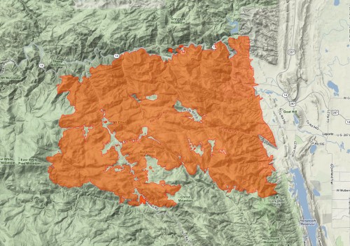
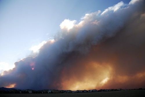
Remember back in May when I was complaining about a little 7,000 acre fire? Ah, those times seem so quaint and naive. In the last week, our worst predictions have been put to shame by the High Park Fire, a 52,000 acre monster that has devoured the forest just west of our town.
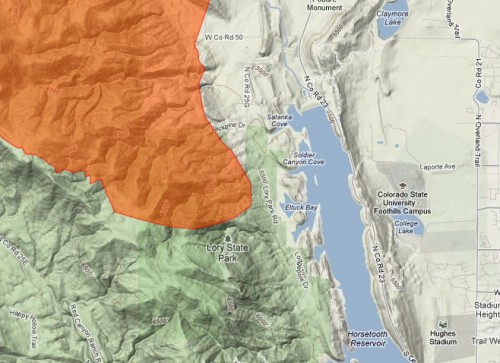
Map of the High Park fire from Thursday Morning 6/14

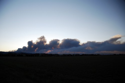
On Saturday afternoon, Mark and I put together our summer container garden and watched a huge plume of smoke rise over the distant foothills. Since then, we have had a week of hot, breezy days with no possibility of rain in our forecast, and the fire just keeps growing and growing.

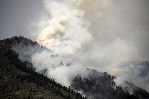
Smoke from the High Park Fire on Saturday night

Smoke from the High Park fire on Sunday night

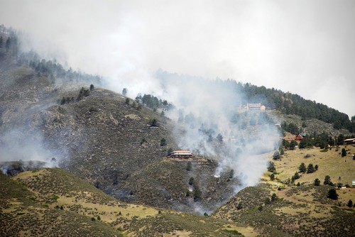
There’s no real way to tell what damage has been done to homes, trails and lives until the flames die down and people can return. So far, estimates are at well over 100 homes burned and one confirmed fatality – a woman died as her mountain cabin was consumed by the fast moving fire on Sunday.

A lot of houses in danger and full view from my office

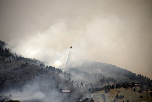
Fire fighters have been working to save these homes for three days straight

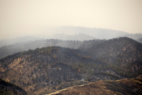
The view of burnt hillsides on Monday morning

This time around, it’s not just the smell of distant smoke that is aggravating us. There is the devastation of watching your local hillsides burn to a crisp, and the ever present fog of dense and unrelenting smoke. My office is just below the reservoir, less than a mile from one part of this fire, and the smoke there is so terrible sometimes that it makes me ill. This morning, I woke up with a sore throat and clogged sinuses and determined I probably won’t be going back into my office to work until next week.

How close the fire is to my office at the Foothills Campus

It’s now Thursday night, and there are over 1,300 people working on containing this fire. They announced 10% containment on Wednesday morning but have barely been able to increase that. There are helicopters and heavy air tankers flying over town all day long, a huge tent city of firefighters across the street from my office, and we’re hearing things about how “we’re in this for the long haul.” “This is just the beginning.” and “We know that more area will continue to burn before this fire is put out.”

The wind kicks up a bit and the fire takes off

I’m not sure how to wrap-up this post because it seems we are completely in the middle of this disaster. Mark, G and I are all thankful that our own home is safe, but our hearts break when we look out into “our” mountains and see our second, metaphorical mountain “home” going up in smoke. Hopefully, this fire will leave enough behind for the forests to recover quickly, and hopefully it will rain soon. Hopefully.

Summiting Crosier Mountain!

June 12, 2012 at 7:51 am

Let the 2012 Summer of Summits begin!

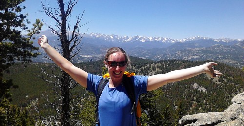
Kate on the summit of Crosier Mountain!!

Last weekend, we climbed Crosier Mountain, which is a relatively small peak about 10 miles east of Rocky Mountain National Park. Crosier Mountain tops out at a respectable 9,233 ft (2814 m), and of the three possible routes to the summit, we chose the easiest, with an 8 mile round trip.

[iframe src=”https://maps.google.com/maps/ms?msa=0&msid=215682979202177479917.0004c229258cad7af4302&hl=en&ie=UTF8&t=p&ll=40.441917,-105.433989&spn=0.031355,0.054932&z=14&output=embed”]
View Crosier mountain 6/10/2012 in a larger map

This was the longest trail that we have ever hiked with G, and it was a success on many levels. The first was a beautiful day in the mountains with our kiddo (and out of the smoke from the High Park fire). The second was ticking a summit that I’ve wanted to see for a long time off of our list. And the third was that we made really good time, going at more than 2 miles per hour up the steep hillside.

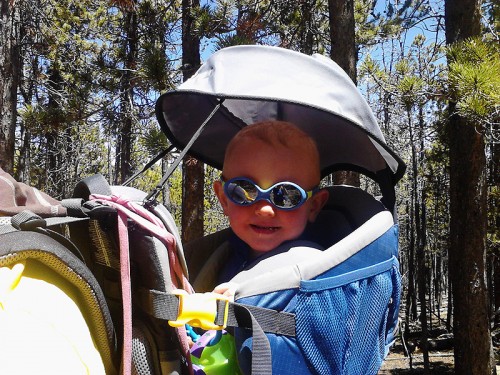
G stylin' in his julbo's

Of course, we had our share of issues, most of which were technical in nature. To start the day, I realized in Loveland that I had completely forgotten my camera! Bummer. So, we used the cruddy phone cameras to document this beautiful hike (this just makes me sad). In the same vein, we decided to try using Google Tracks and the embedded GPS in my phone to track our hike. This worked pretty well all the way up until the battery conked out. As you can see on the map above, our track stops abruptly about a mile and half from the trailhead. No, we did not quit there, the phone did.

This shot would have been so much better with my nice camera!

The people, however, did great! We managed to hike the 8 miles (possibly more) in about 5.5 hours total, with probably an hour and half of stop/rest time. G did really well sitting in the backpack all day. For a kid who screams when we buckle him into his car seat or a plane seat, I’m always amazed at how eager he is to get into that backpack. He laughs and talks and sings along the hike. He likes to play with the sunshade, eat lots of snacks, and kick Mark in the back while we’re on the trail.
Mark can grab feet and sing "Old MacDonald" at the same time - MAD SKILLZ

Even the dog surprised us. Liv is now 11 years old, and by the end of the 8 miles, she was really tired. Mark and I were coming up with contingency plans about who would carry the baby and who would carry the dog if she just gave up. But Liv made it all the way up and down too!
Everybody is dogging on mile 7 of 8

We didn’t get to spend any time on the summit for this hike. I had a ranger eating her lunch snap a quick pic of me on the summit as Mark turned around and hiked back down. G had fallen asleep about 45 minutes earlier, and he started to rouse right when we hit the top. Mark had to turn around and try to get him back to sleep through the movement of the ride. Ah well, I’m sure there will be plenty of summits to enjoy this summer.

View of the Continental Divide and Rocky Mtn Nat Park from the summit

Crosier mountain was a beautiful hike on a beautiful Sunday. The trail was not too crowded, but well used. We were passed by many mountain bikers, several other hikers, and saw evidence of horses through out our day. The summit views were amazing, but the views along the trail were breath-taking as well. Here’s hoping for a summer full of gorgeous summits!