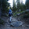
Hiking Chapin Pass
It was 6a, and G rolled over in the camper and started talking about trucks into his blanket. Time to get up.
We all crawled out of bed and hurried along our morning rituals as quickly as possible: eggs, diaper, coffee, pants, water bottles, hiking boots. Today, we were going to take G higher than he had ever been. We were going to attempt to climb Mt Chapin, a 12,454ft peak that is the southern most of the Mummy Range.
We had camped all weekend in Rocky Mountain National Park. The day before we climbed with friends at Lilly Lake. We ticked off 3 pretty climbs in scattered rain showers, G scrambled over the tallus at the base of the crag, and I forgot my camera (again).
So, we should have been acclimated. We should have the fitness to hike the two miles to the summit of this mountain. We should have all of the gear we needed, and maps and gps’s and heavy fleeces. We were about to learn that all the “should”s in the world might not get you to the summit.

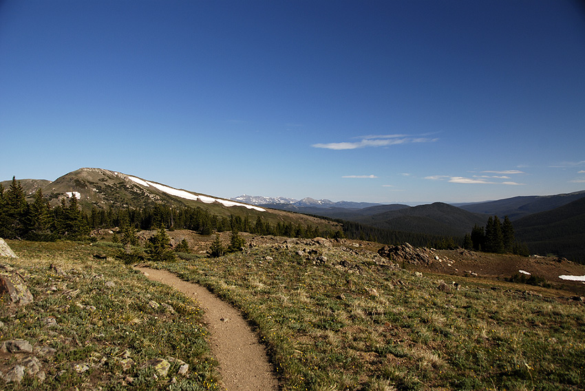
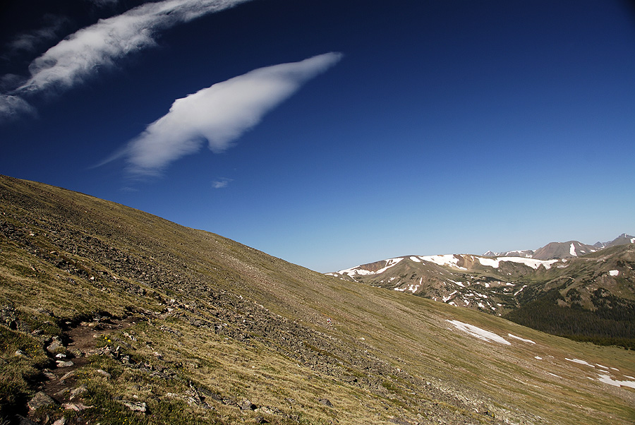
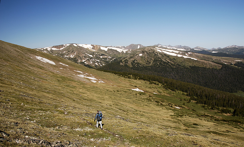
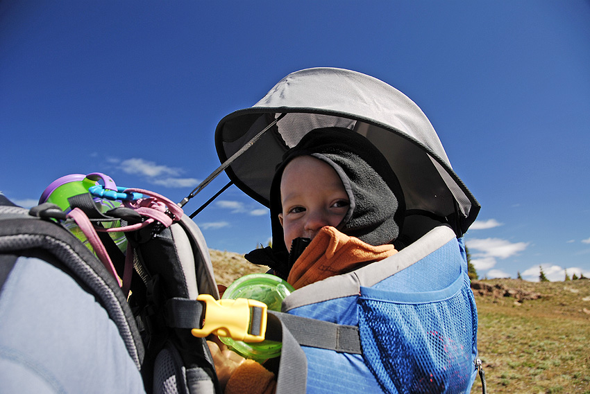
Hitting the Chapin Creak trail at 7:45a
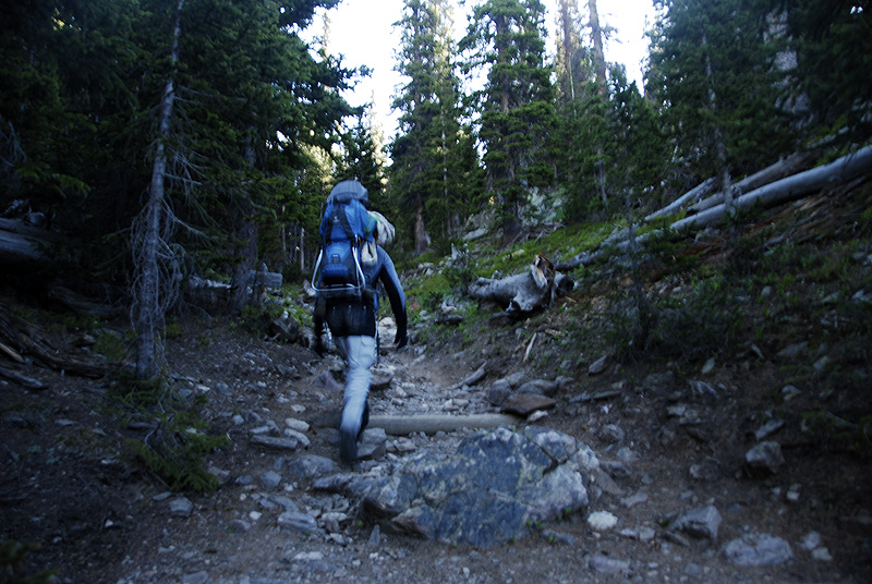
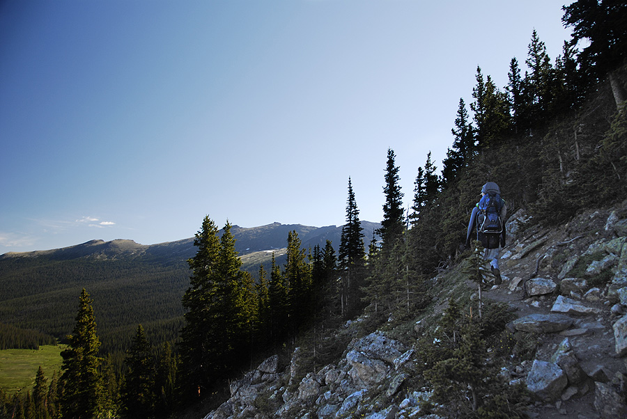
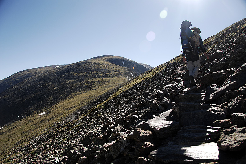
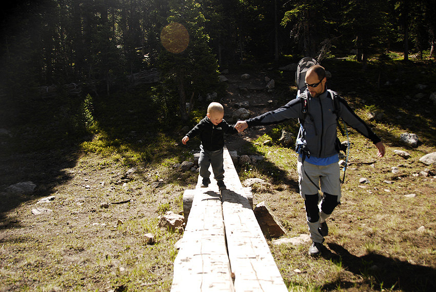
The trailhead for Mt Chapin is about 7 miles up the narrow, switch-backed, one-way Old Fall River road. We arrived at the trailhead a little late, and started hiking around 7:45a. The first part of the trail climbed steeply from the road. Mark started at a blistering pace, and I had to ask him to slow down before too long. There were several very steep sections of trail that were a little nerve-wracking with G in the backpack, but the views got better and better as we climbed higher and higher.

Mark and G hiking the steep, rocky trail
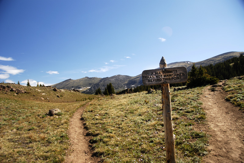
In less than a mile, we reached the end of the maintained trail. Here the trail branched left and right, and the sign clearly indicates we needed to head right for the summits, so we did.
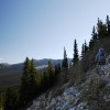
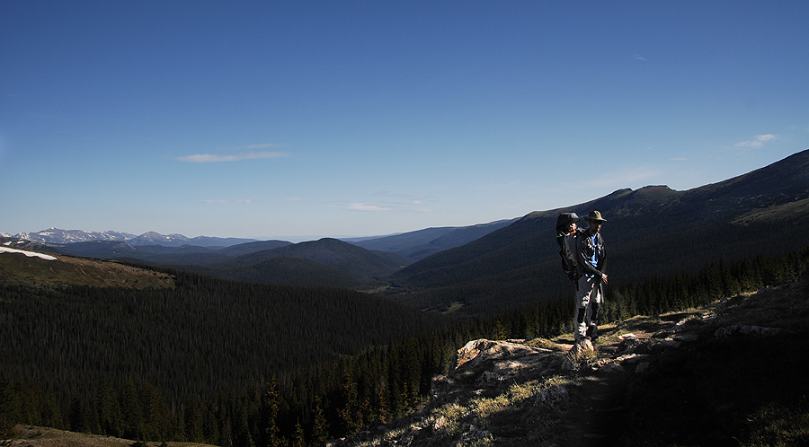
From this point on, we hiked through the edge of tree line, past alpine lakes, and into an increasingly gusty wind. The trail headed up the side of Mt Chapin, and we started into some class 2 sections right as the wind really started picking up.

Climbing the steep class 2 sections of trail in high wind near 12,000ft
We were crossing into the 12,000ft range when the wind REALLY hit. We had gusts so strong it was difficult to keep standing. I put a hat and hood on G to protect his ears. He buried his face in his blanket and fell asleep. Mark and I stumbled over the rocky trail as the wind howled by. After 20 minutes of working hard to keep our footing, Mark turned around and said “I’m not having fun any more.”
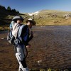
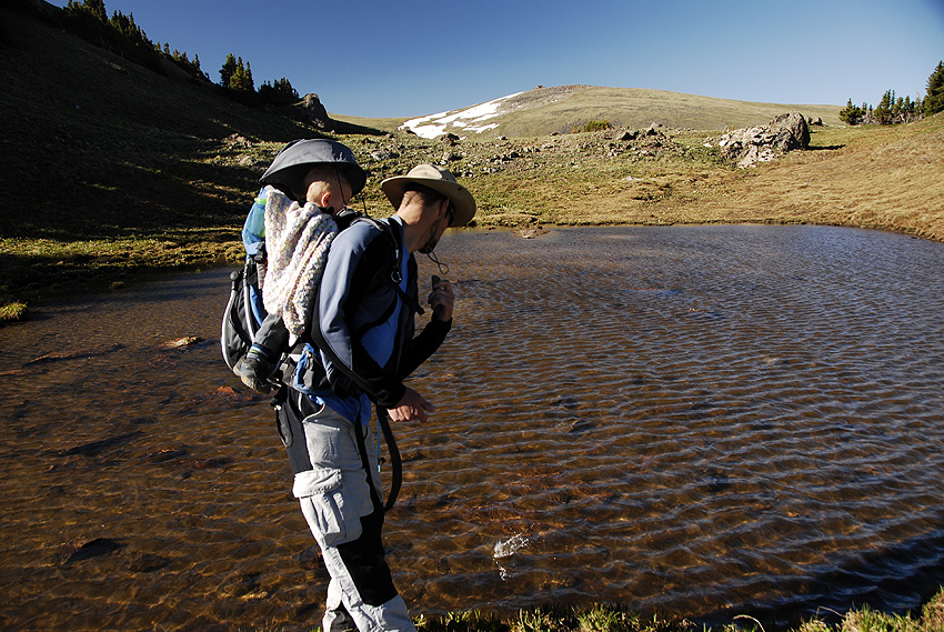
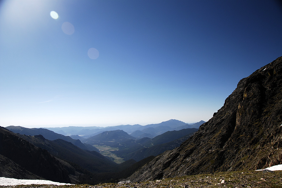
We double checked that G was alive, warm, and still napping, and then finished up the trail to the saddle. The views east were hazy with smoke and morning mists. Mark took G to shelter behind a rock outcropping while I snapped a few pics, and he nearly stepped on a marmot sheltering in the same place.

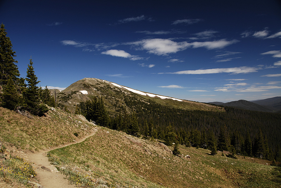
View east from the saddle next to Mt Chapin
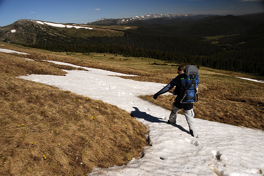
We were up in the blistering wind for maybe two minutes and then turned around and got the heck out of there. This time, we headed down a lower path that we had seen from above. Mark jogged down the trail, trying to loose altitude for the baby as quick as possible.
And as quickly as the wind hit us, it died off. We stopped jogging in a beautiful meadow, full of tundra wildflowers and gloriously calm air just below 11,800ft.

Mark jogs down the lower trail to get G out of the wind
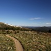
The rest of our hike down was beautiful and pleasant. G sang and giggled in the backpack and we enjoyed amazing views and a gorgeous morning. Eventually, our lower trail connected with the original one, right at that sign telling us to go right. This was clearly where we went wrong.

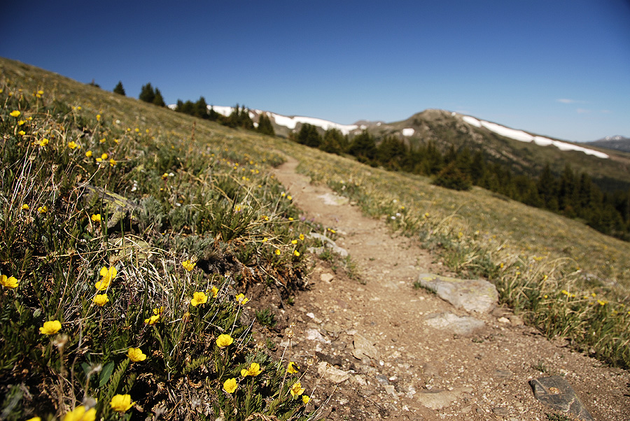
This was a beautiful trail

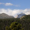
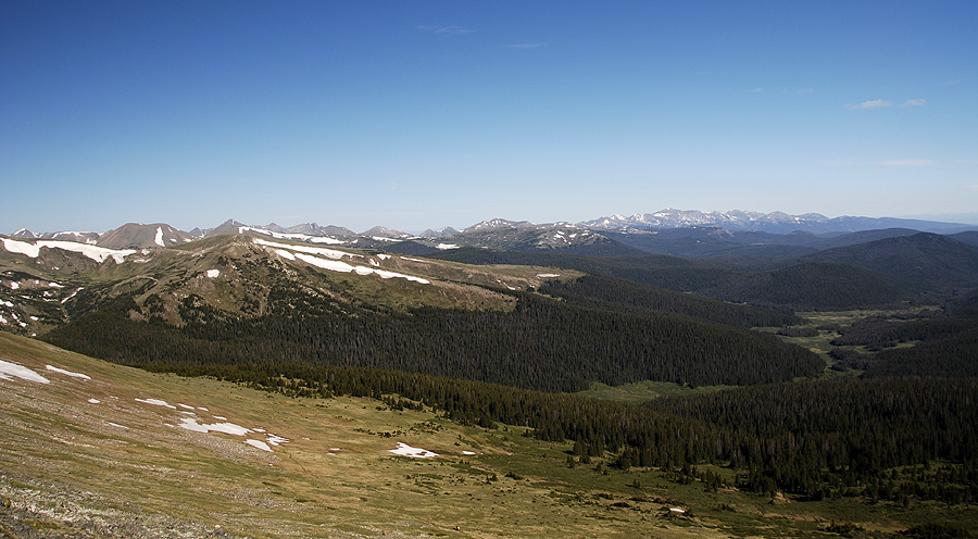
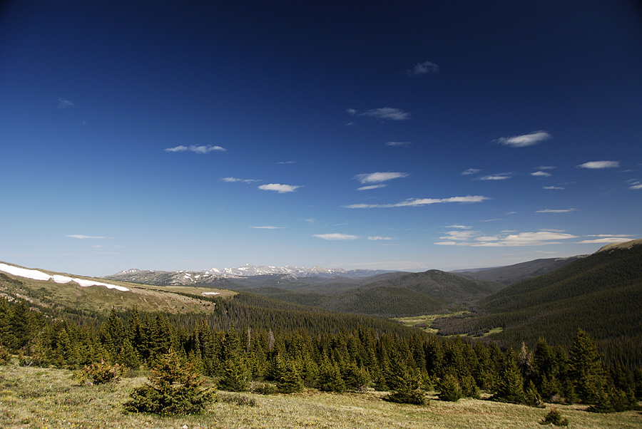
Amazing views of Chapin Creek drainage and the Neversummer Mountains

Don't you wish you were here right now?
Several people stopped to comment on how cute G was in the pack, and how impressive it was that he hiked so high that morning. We recommended to everybody who stopped that they take the lefthand path at the sign that says “go right.” Nobody knew there were two options to get to the saddle and summits.
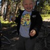
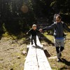
We stopped for snacks about a 1/4 mile from the trailhead and let G hike the rest of the way down on his own two feet. He did REALLY well, and totally loved jogging over roots and rocks and bridges and downed trees.

G hiked the rest of the way down on his own feet!
I don’t know if we would have made the summit had we taken the lower trail. I have a feeling that we would have hit that wind at the saddle and turned around. From my experience in the mountains, there are four basic things you need to bag a summit: the gear, the skill, the time and the weather. Three of those you can control pretty well. Buy a warm fleece, practice on smaller peaks, and get up as early as possible! But that fourth, weather, can derail even the best laid plans.
[iframe src=”https://maps.google.com/maps/ms?msa=0&msid=215682979202177479917.0004c2bedf601b09834a1&hl=en&ie=UTF8&ll=40.436635,-105.71619&spn=0.003499,0.028615&t=p&output=embed”]
View Chapin Pass in a larger map
-

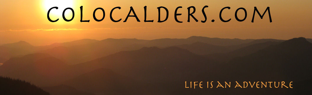
- Gabe sporting this season's hottest camping gear!
-
- Nice views from our campsite in Moraine Park
-
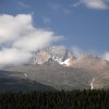
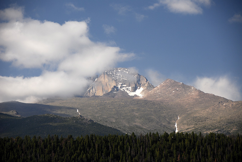
- Long's Peak peeks out from behind the clouds
-

- Doing some serious construction on the tent pad at our campsite
-
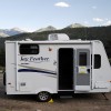
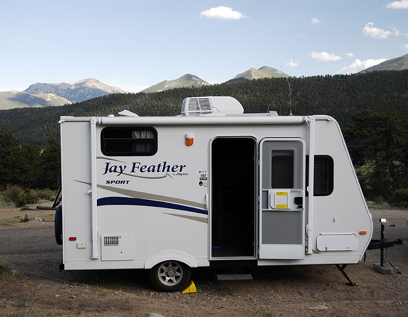
- Our little trailer in Rocky Mountain National Park
-
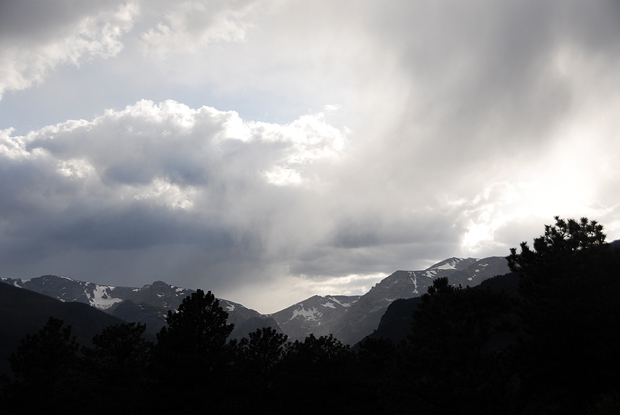
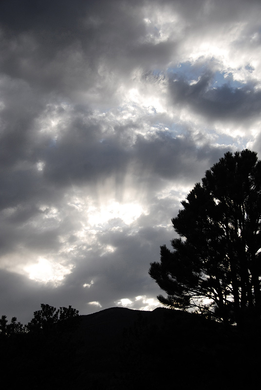
- Evening clouds make for great dinner entertainment
-
- Sunset in RMNP
-
- Hitting the Chapin Creak trail at 7:45a
-
- Mark and Gabe hiking the steep, rocky trail
-
- Got to stop and throw some rocks in the alpine lakes!
-
- Looking back along our trail above treeline
-
- Mark and Gabe in the morning sun at a gorgeous overlook
-
- Climbing the steep class 2 sections of trail in high wind near 12,000ft
-
- Amazing views of Chapin Creek drainage and the Neversummer Mountains
-
- Our trail at 12,000ft, super exposed and super windy
-
- View east from the saddle next to Mt Chapin
-
- Mark jogs down the lower trail to get Gabe out of the wind
-
- Hiking through snowfields in June!
-
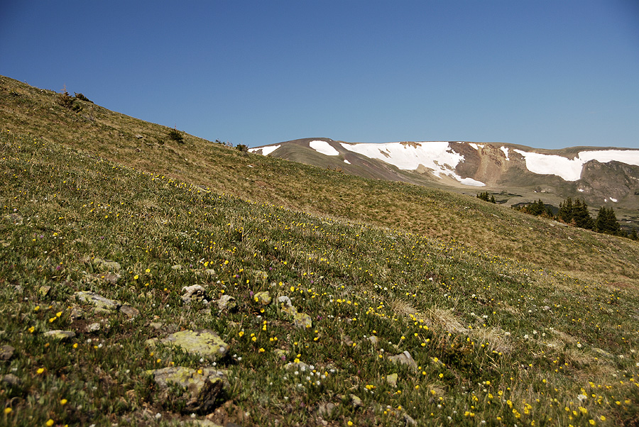
- A beautiful field of tundra wildflowers at 11,700ft altitude
-
- This was a beautiful trail
-
- More views of the valley below and distant mountains
-
- ALWAYS GO LEFT AT THIS SIGN
-
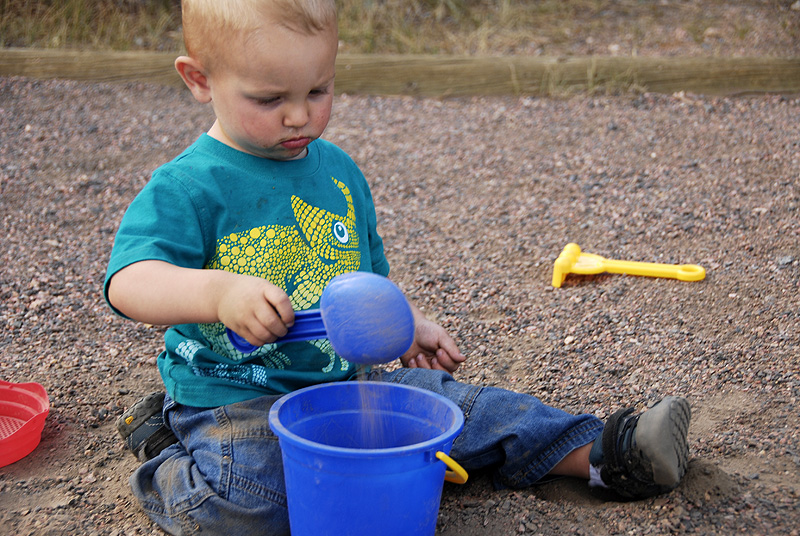
- Gabe is having fun at high altitude!
-

- Don't you wish you were here right now?
-
- Having fun playing on the trail during a break for snacks
-
- Gabe hiked the rest of the way down on his own feet!
I am really impressed with how Gabe does on these long hikes! It’s great that you guys are going out there and doing these things now- I bet it’s really instilling an early love of nature in him. I wish we had more nature around here!
Thanks Amy! We’ve been really lucky that he loves being in the pack so much, but we also pushed through some rough times to get him used to it. Do you guys have a pack for Nora? I bet there’s some pretty great hiking just outside the DC area. I know there’s rock climbing out there! And Shenandoah National Park is supposed to be gorgeous!
In fact, here’s a map of a ton of nice trails around Baltimore: Check out Trails.com!
I thought I was young when I used to hike all over the Lake District in the UK from the age of 9. Gabe is putting me to shame! :)
Wow, you were a lucky kid to be hiking around the Lake District at 9. I’d love to be able to visit that region someday! Our Gabe is a little trooper and just loves being outside. We are very lucky parents! Thanks for stopping by, James!