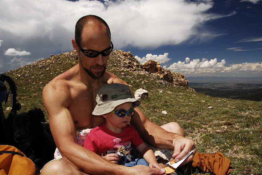
The 2012 Summer of Summits has ended with a bang! As I (oh so discretely) alluded to in my last post, we had a big plan and a big goal for this summer. To finally, after staring at this mountain for 8 years, climb Long’s Peak.

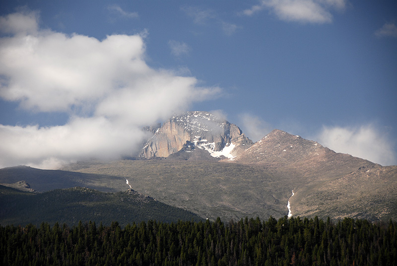
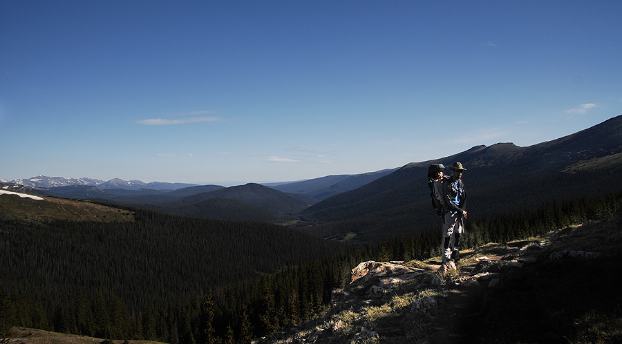
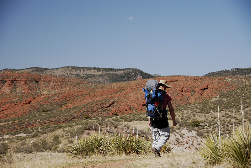
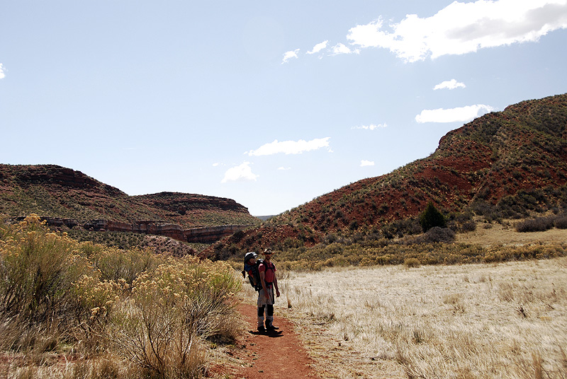
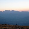
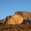
Our first view of Long’s from below the Boulderfield
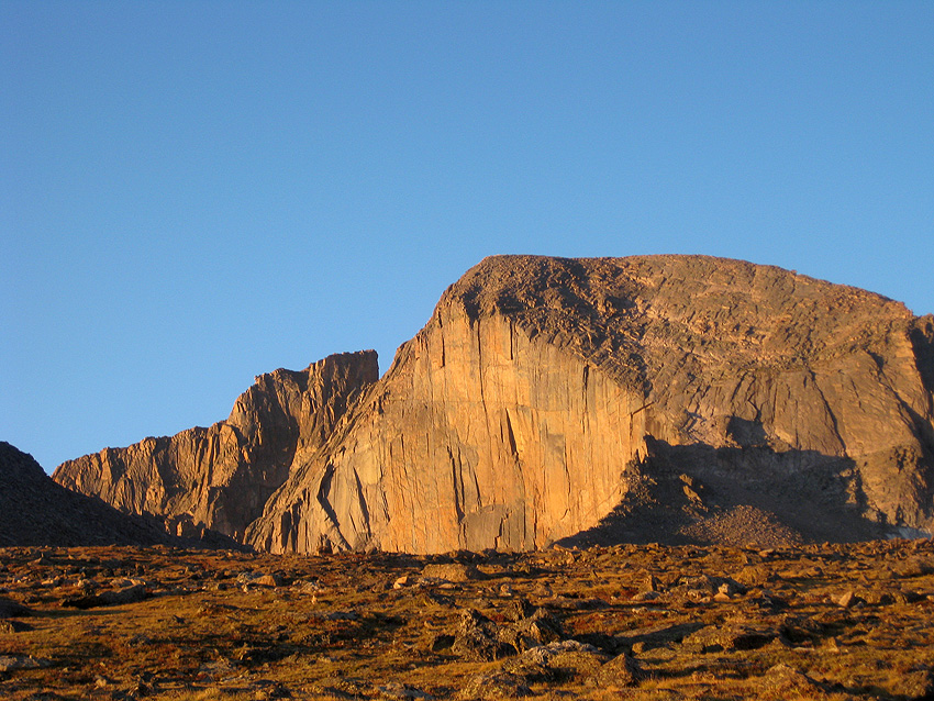
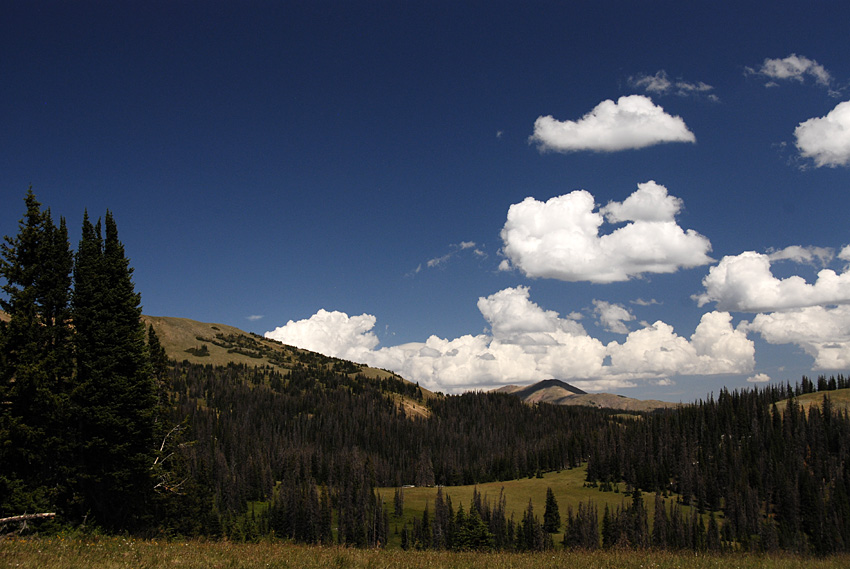
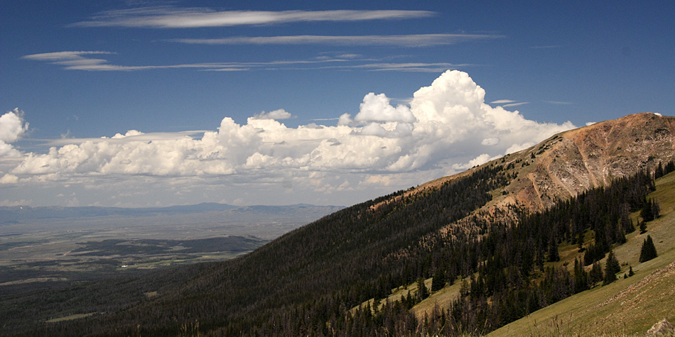
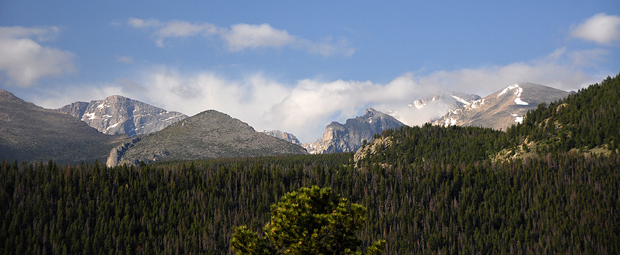
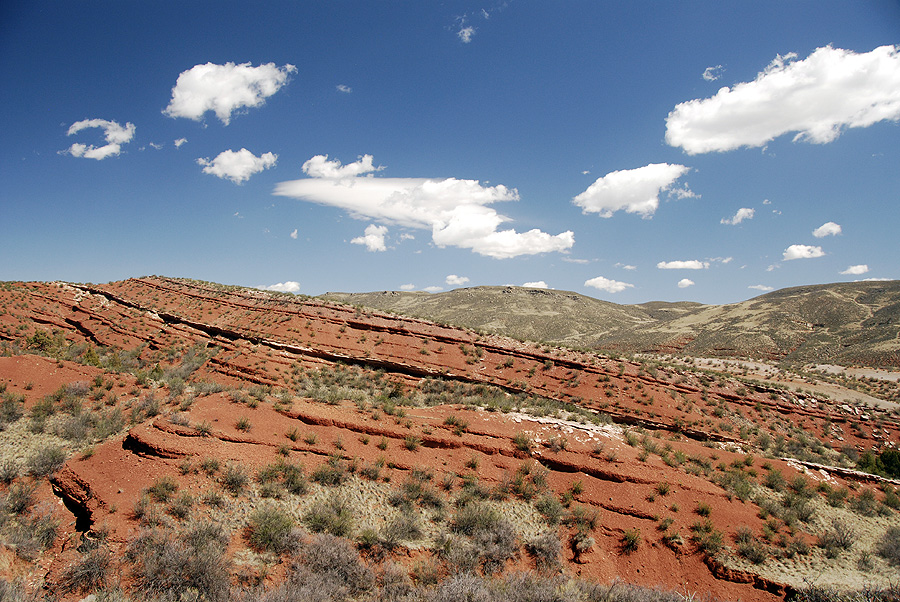
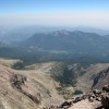
Long’s is the highest peak in Rocky Mountain National Park. It’s steep, craggy slopes were carved by glaciers millions of years ago, and each day it casts a long shadow over the tiny houses built along the Front Range.
Mark and I attempted to do this climb a few years go, but were turned back after a series of mistakes ended with a 14 mile hike and me getting sick at 12,500ft. This year, I tried to learn from those past mistakes, and planned and planned and planned for this trip.

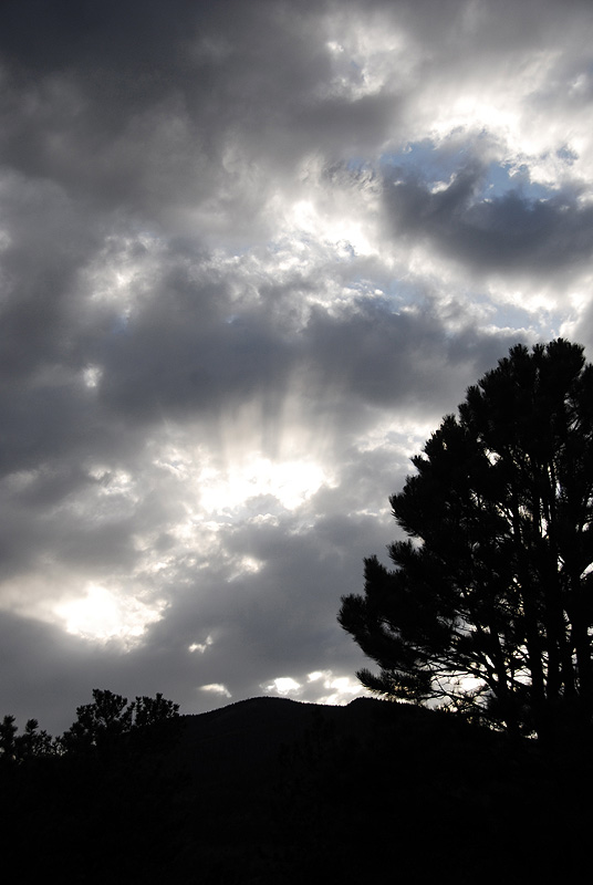
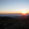
First light over the rockies
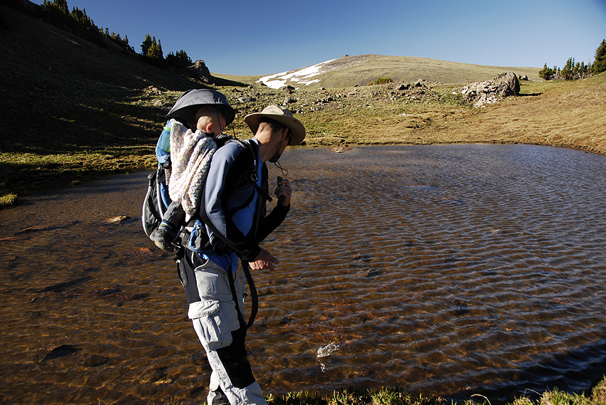
The crux of the climb for Long’s is really the approach. And for us, the approach started back in June when we started our training. We then had to set aside a weekend, arrange for an over-night babysitter (thank you HiTruck! :), get a backcountry pass to camp at the Goblin’s Forest, borrow a tent, decide on the climbing gear to carry, buy all the food… and you get the idea.

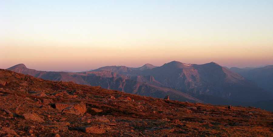
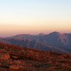
Sunrise on the slopes of Long’s Peak
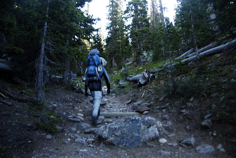
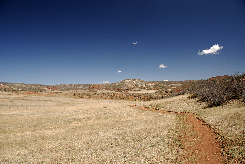
By the time we rolled into the parking lot at the Long’s Peak trailhead, at 8p on Friday night, we were totally ready to go. We hiked the 1.2 miles into the Goblin’s Forest campsites, set up a tent and slept for 6 hours.
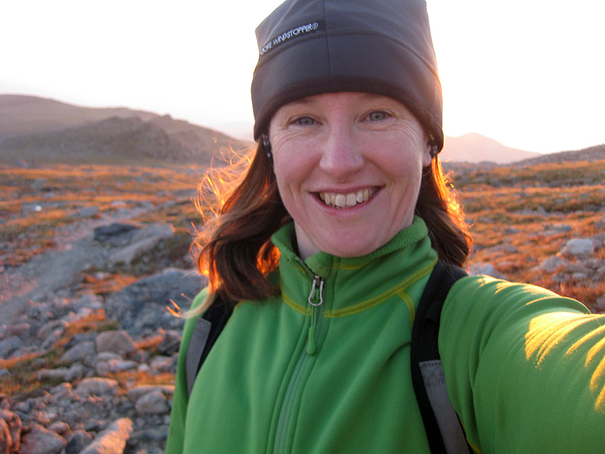
At 3:45a my alarm went off in the darkness. We moved all of the climbing gear into Mark’s bag, and I packed some sunscreen and a hat in my little daypack. I joked that I was really just going to the beach that day.

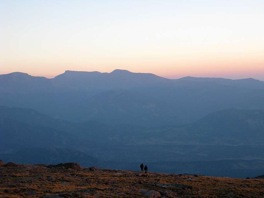
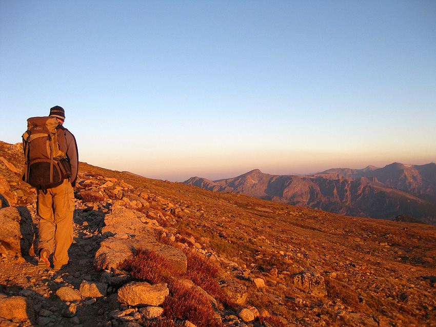
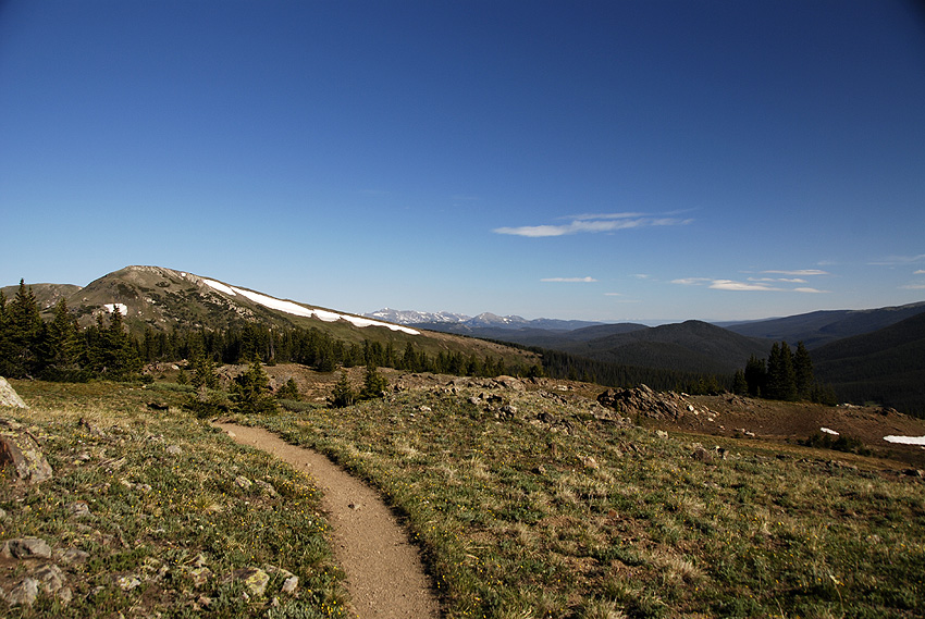
Hikers on our long trail at dawn
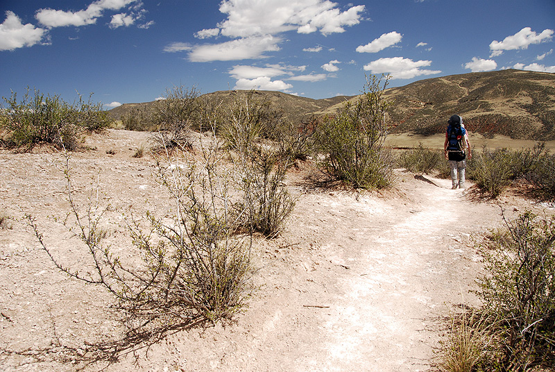
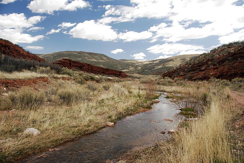
When we got to the trail, we joined a long line of headlamps in the darkness. I have spent more pre-dawn hours hiking through Rocky Mountain National Park than I like to think about, and it still creeps me out. The darkness is thick around you, the wind rushes through the trees above, and mysterious creeks crash through distant dark pools.
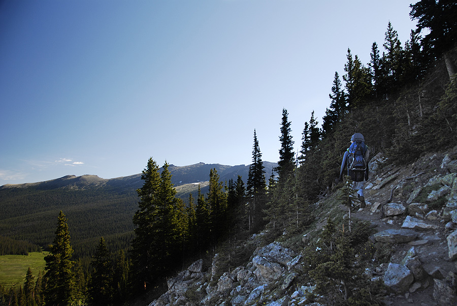
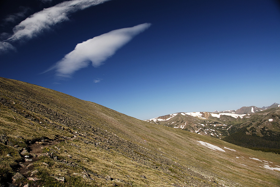
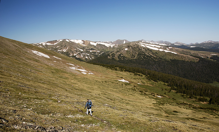
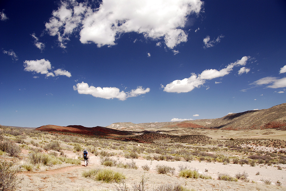
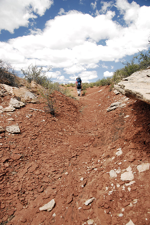
We made good time on the upward hike. We tried to recall what locations we hit at what time on our last attempt, but couldn’t really remember. The sun rose slowly over a hazy, clear morning, and we enjoyed the beautiful orange alpinglow as we hiked up the slopes of the Long’s Peak massif.

Wading through a sea of alpinglow
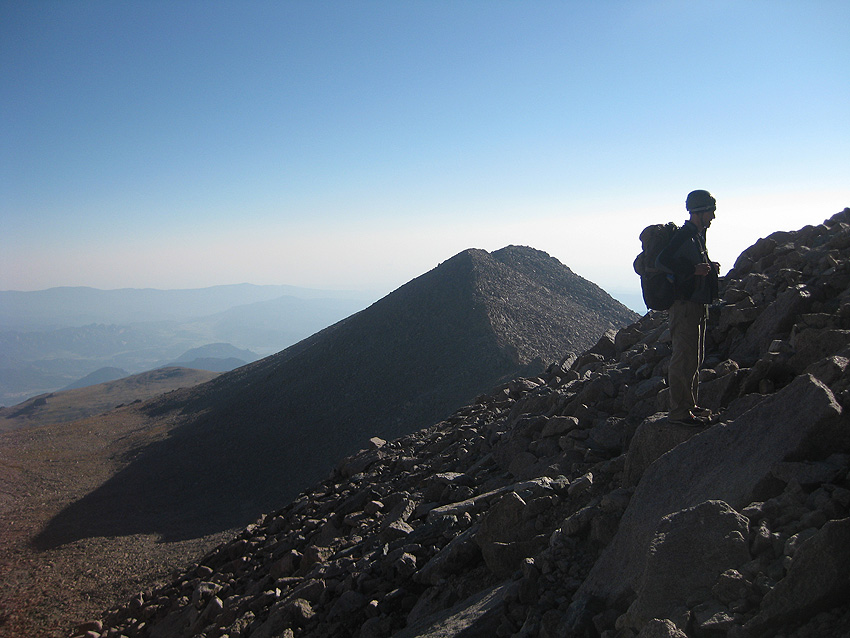
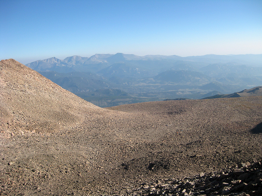
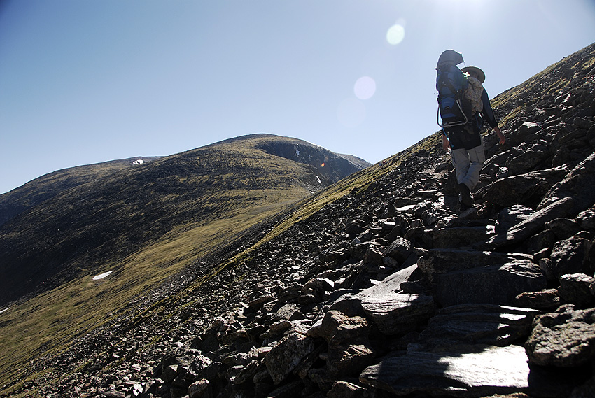
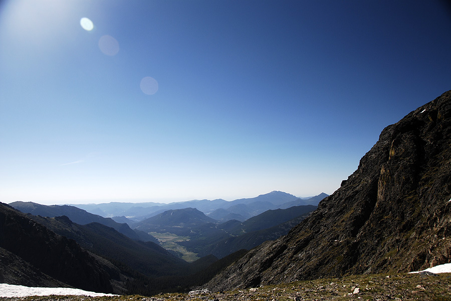
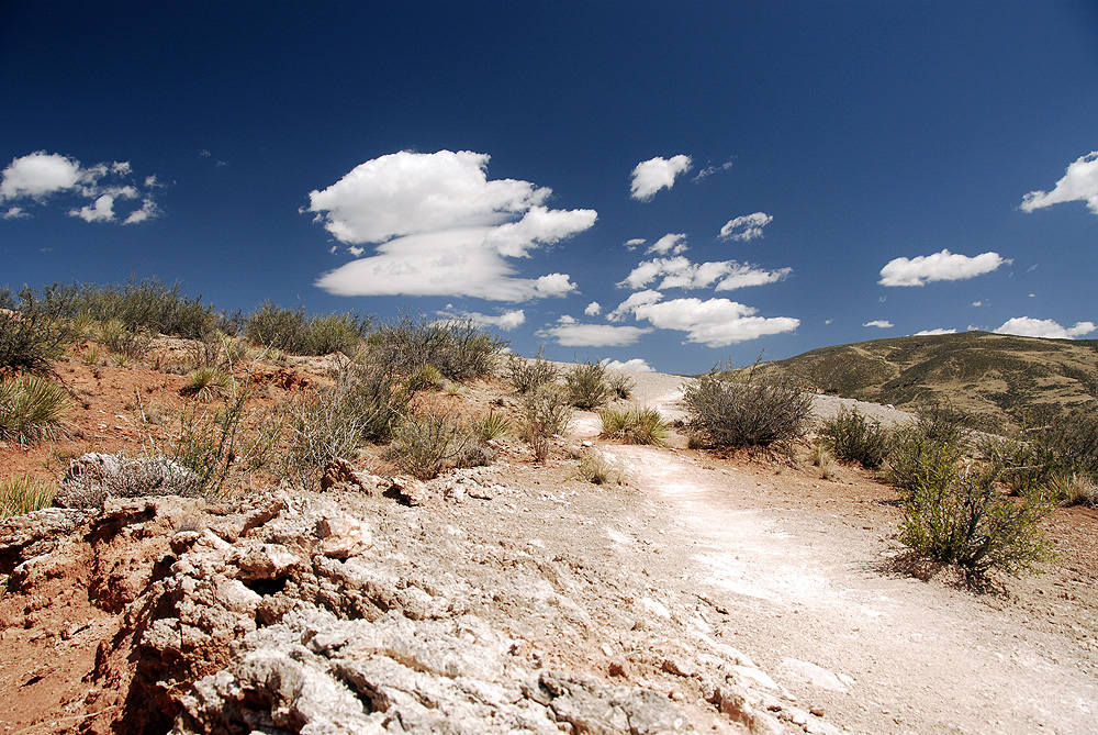
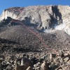
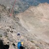
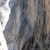
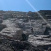
And that’s pretty much where the fun ended. After that, it just got hard. I felt great in the Boulder Field, so we started our scramble up the north slopes. The talus was steep, but stable, and after what felt like an eternity, we were finally at Chasm View and the start of our technical climbing.

Mark on steep talus below the technical climbing
Sitting at this lofty spot was unnerving, and my anxiety started running circles around me. I freaked out when Mark tried to sit on the edge of the rock. My hands were tingling when I took my pack off, and I was suddenly sure that I had MS. Or some kind of altitude-related brain damage. Or maybe I was just an idiot and a terrible mother for setting off on this adventure in the first place. I tried to ignore all of the worry and fear, and focus on the amazing and beautiful place where I found myself that Saturday morning.

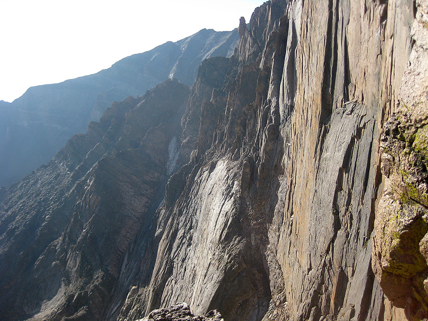
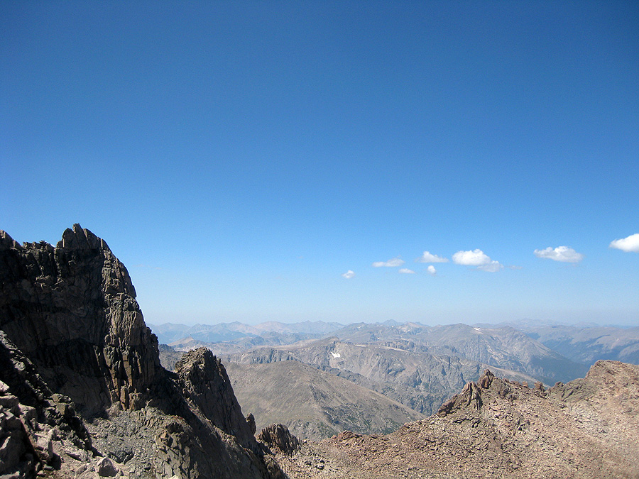
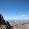
Looking North along the Keyhole ridge
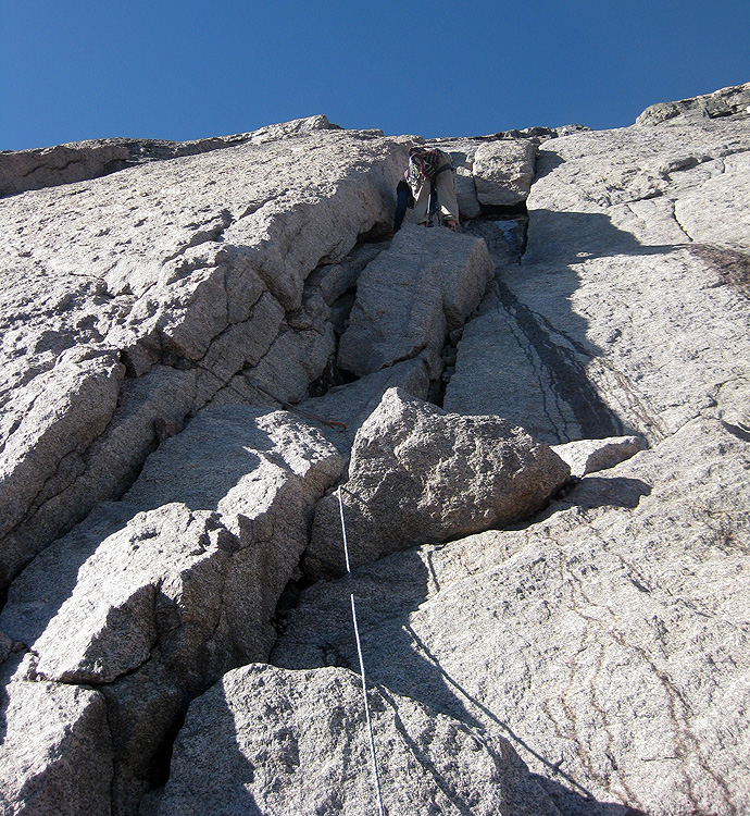
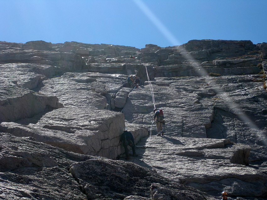
Mark led up the two pitches of climbing beautifully. Even with ice coating the cracks and chimneys, without having quite enough slings, and having to dodge pebbles and ice shards tossed down on him from climbers above, he lead the route cleanly and without complaint. I followed with a bit more whining.

Mark on the 5.6 pitch – filled with ice and water!
After 200ft of wet, icy cracks, we sat on a ledge and looked up at more talus and scrambling to the summit. A group of climbers were starting their decent, and they peppered us with advice such as: “It’s not hard, just a pain in the butt. You might get ledged out. If you end up on a scary slab, climb down and head more left. You’ll want to stay away from the Diamond, but the easiest route goes almost to the edge. There’s some cairn’s marking the path, but we lost them after a while. Make sure you pay attention on the way up, so you can get back down. Oh, it will only take you about an hour with some route finding issues.”
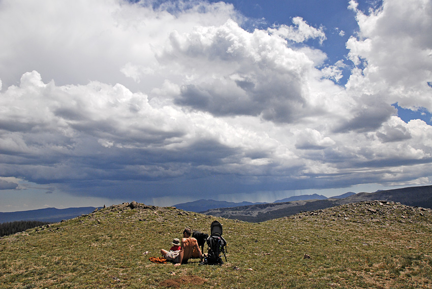
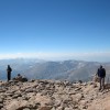
So, another hour of steep scrambling over giant granite blocks. This time, they hovered over the edge of a 2,000ft abyss, and mistakes entailed more serious consequences. Mark and I debated heading down, but we got great encouragement from the other climbers to give it a whirl. We had the gear, the skill, and the clear weather to keep going. All that was stopping us was our good sense.
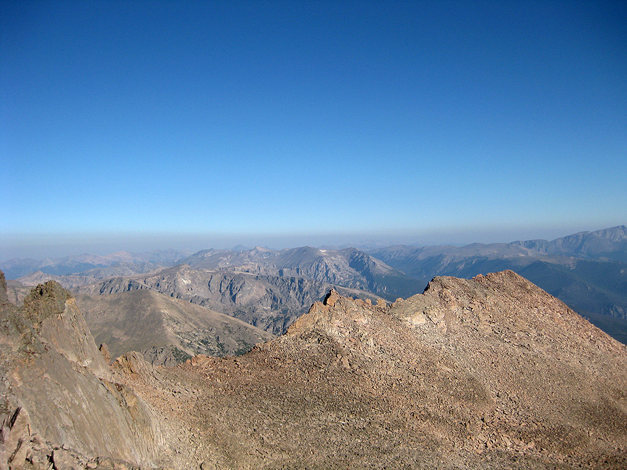
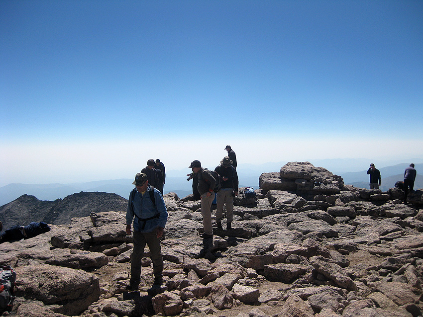
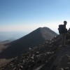
I don’t know how long that last scramble actually took us. Maybe an hour? We followed cairns, and made some new ones to helps us down. We went the wrong way once, but were corrected by another group of climbers. None of the scrambling was difficult or overly exposed, and finally, we crawled up onto the summit!

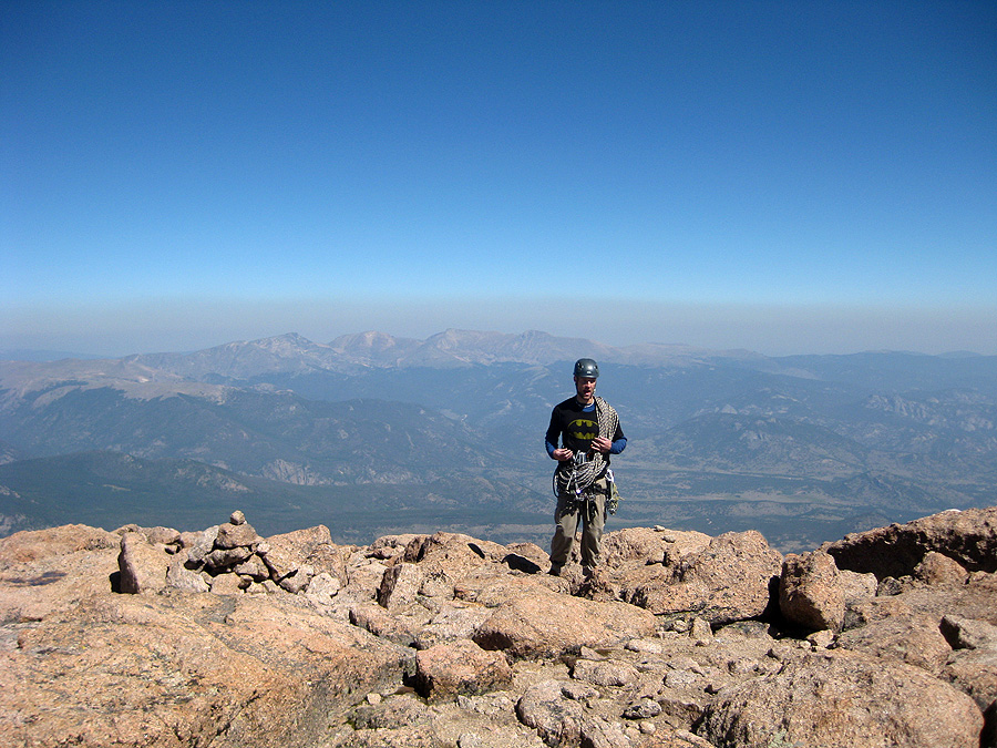
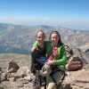
Batman arrives on the summit!
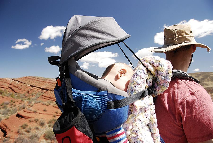
Of all of my summits on all of my mountains, this one is now probably my favorite. The views weren’t so amazing, the crowd wasn’t so big. But we got granola bars and jerky and high-fives from strangers who were up there with us. I signed the summit log and dedicated the climb to our son. I opened up the sunscreen, which promptly exploded all over the rocks around me. I was happy to have finally, finally, made it.

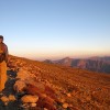
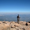
On the summit of Long’s Peak, Aug 25 2012, 11:30am
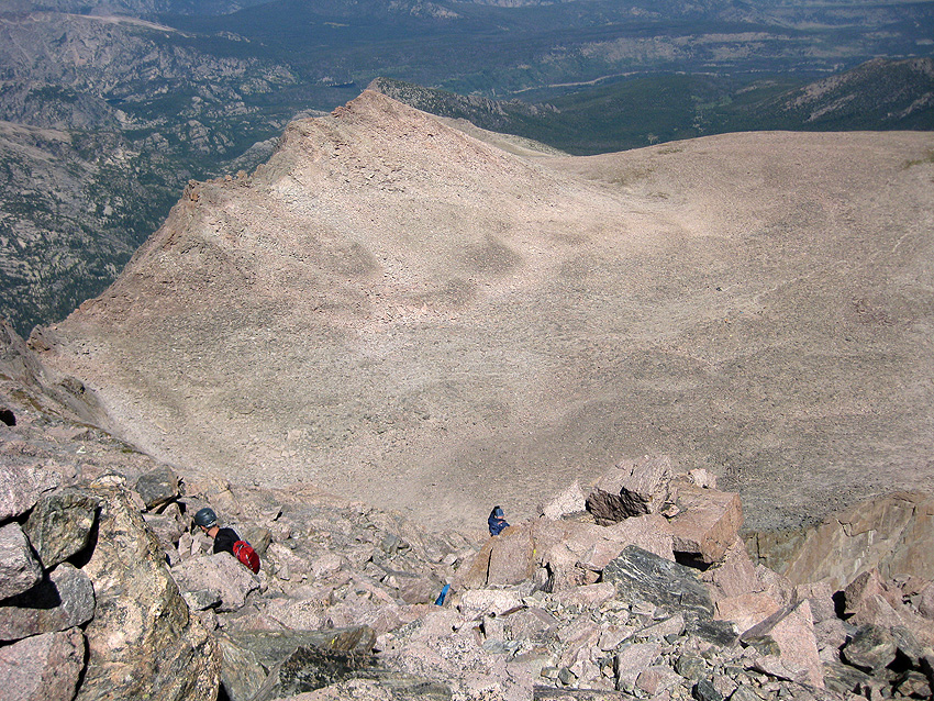
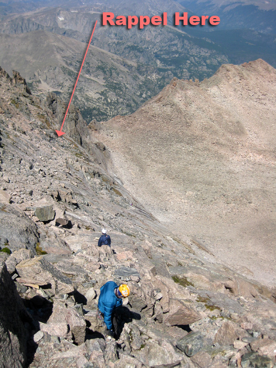
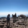
After all of the pain and effort of the climb, the trip down was shockingly smooth. We followed new friends Keith and Linda back down through the talus field (much easier on the way down, as you can see where you’re heading). We tied our two ropes together and rapped the entire technical section in one long go. We laughed and joked and enjoyed a beautiful afternoon. “Throw the rope towards the cheeseburgers!” “I’ll carry the heavy pack if you carry me!” “Forget that slab, use your MAN MUSCLES!”

The scramble back down to the rappel was much easier
And with smiles and cheer all around, we scrambled down the mountain. We had to jog the last 6 miles out to make it to the car by 5p, and we actually managed a 3 mile per hour pace for the whole way down. My knees were killing me, and my feet were covered in blisters, but we were successful.
")
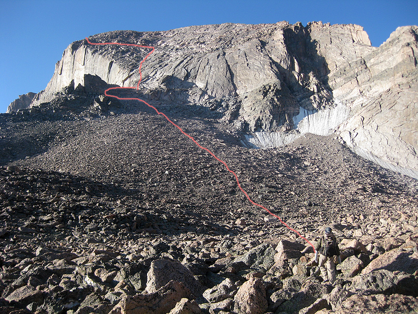
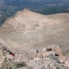
Our route to the summit – the Cable Route (5.6 – Grade III)
A few notes on what we did differently this time (better than our last attempt):
1. We didn’t hike 6 miles the day before. In fact, we didn’t do any strenuous activity the week before in an effort to be fresh for the climb.
2. We camped along the trail. This got a mile of the approach out of the way the day before, and meant that we could sleep in a bit.
3. Mark carried all of the gear. Seriously, I had a jacket and some sunscreen, and this worked wonderfully for us. No shame here, I let the strong guy take the weight.
4. I had a liter of water and that was it. We filtered twice on the hike and carried a lot less water.
5. I took a dose of Advil at treeline and every 4 hours after that. No headaches!
6. We brought a lot of tasty snacks, so eating was fun. Choking down foodbars is not necessary, and on Saturday I had chocolate milk, fruit snacks, ritz cheesy crackers, and yogurt covered raisins. Yum.

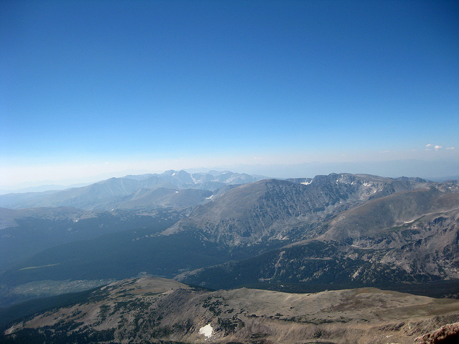
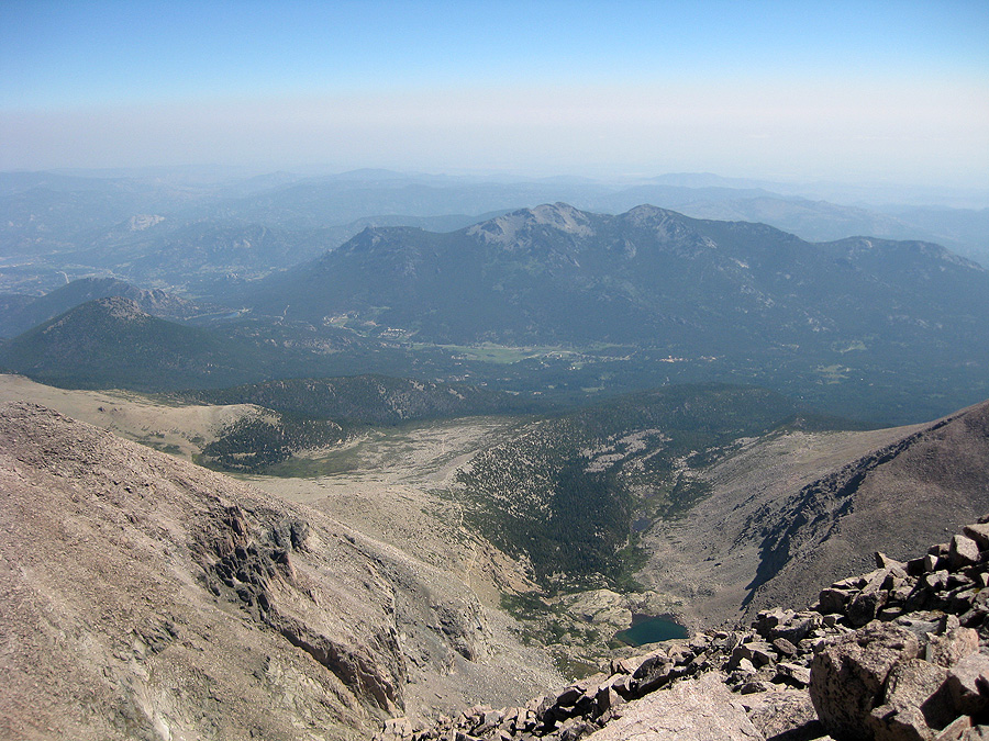
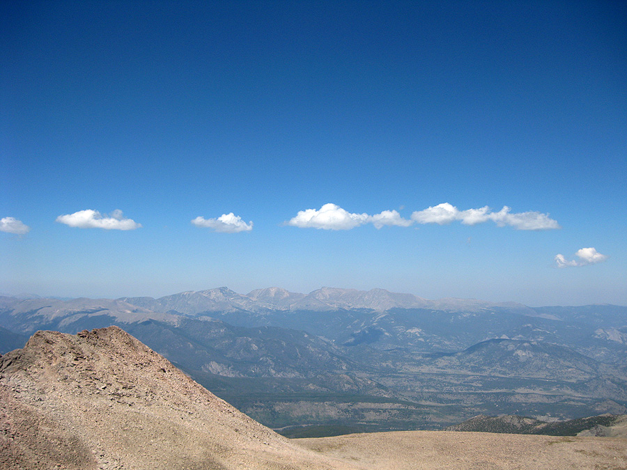
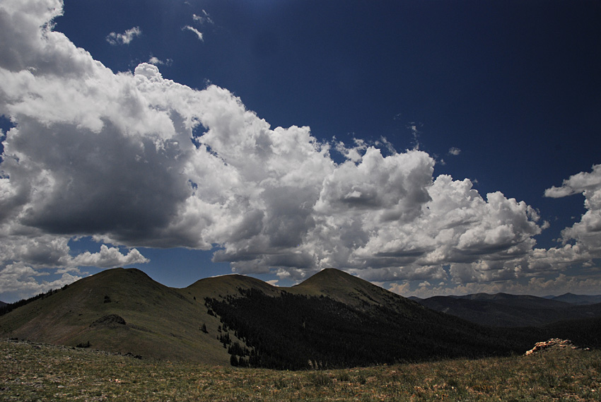
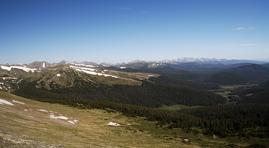
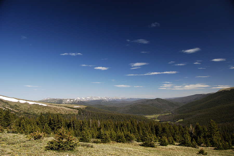
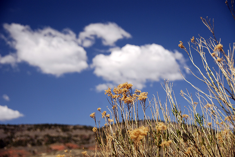
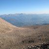
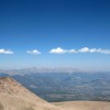
A beautiful day to be up high in the mountains
So, hooray for the Summer of Summits and finally bagging the peak that got away. I can now stand in my front yard, point at the tallest mountain on the horizon and say proudly “I climbed that!”
-
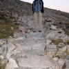
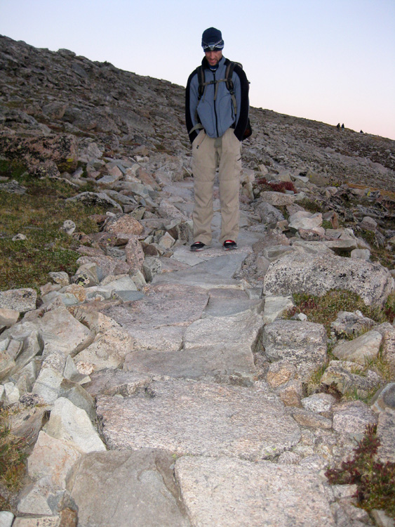
- Mark loved the paving stones on this part of the trail
-
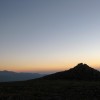
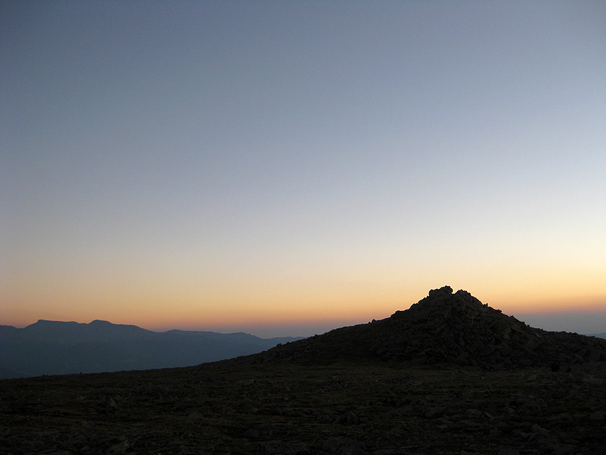
- Before dawn in Rocky Mountain National Park
-
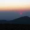
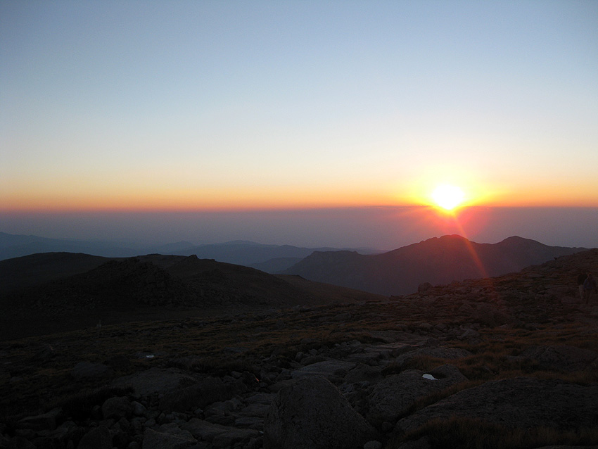
- First light over the rockies
-
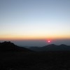
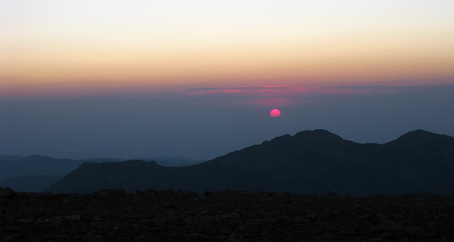
- Watching a sunrise from 12,000ft
-
- Sunrise on the slopes of Long's Peak
-
- Hikers on our long trail at dawn
-
- Wading through a sea of alpinglow
-

- Happy to see daylight after hiking for 2 hours!
-
- Mark hikes in the orange glow of dawn
-
- Our first view of Long's from below the Boulderfield
-
- Our route to the summit - the Cable Route (5.6 - Grade III)
-
- Mark on steep talus below the technical climbing
-
- Looking back down at the Boulderfield from Chasm View
-
- Looking the Diamond in it's face is difficult first thing in the morning
-
- Looking North along the Keyhole ridge
-
- Mark on the 5.6 pitch - filled with ice and water!
-
- Batman arrives on the summit!
-

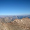
- Looking West from the summit (finally!)
-
- On the summit of Long's Peak, Aug 25 2012, 11:30am
-
- Long's Peak summit
-
- A small crowd on the summit of this 14er
-
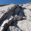
- Starting the scrambling back down (can you find Mark?)
-
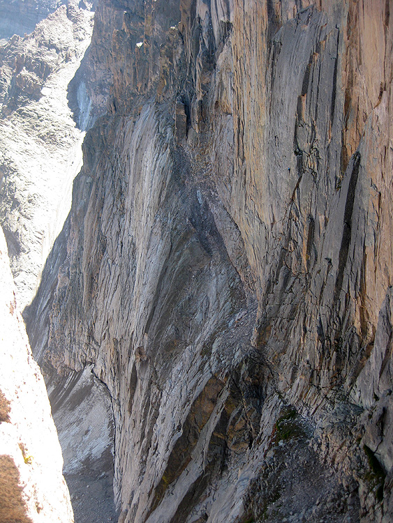
- Views of Chasm Lake from just above the Diamond
-
- The scramble back down to the rappel was much easier
-
- Looking down at the Keyhole Ridge
-
- A beautiful day to be up high in the mountains
-
- Looking down the Diamond in the afternoon
-
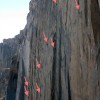
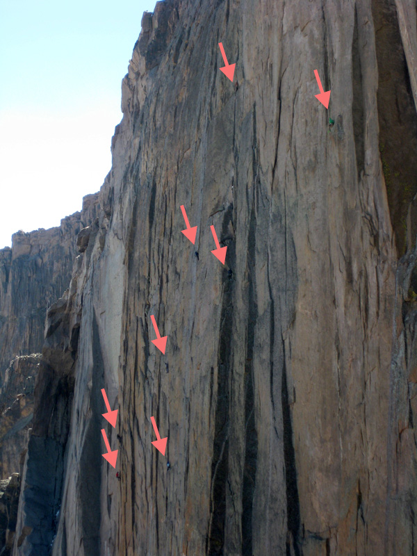
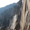
- Busy day on the Big Wall (climbers highlighted)
-
- Mark rappels while other groups head up our route


")