How to get to Loveland in 50 miles of driving
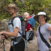
After I gave Mark trouble in a blog post about his rapid series of short climbing pitches on Greyrock last week, he decided this week, it was my turn. Especially after my disastrous navigation on the afternoon in question.
We headed out, a little later than we perhaps should have, for a training hike on Saturday. My first goal was the Big South trail, but as we drove up the canyon, the day got later, and I thought we might get more daylight if we found a closer trail in the Comanche Peaks Wilderness. Unfortunately, I accidentally instructed Mark to turn on Stove Prairie Road instead of waiting for Pingree Park Road, and didn’t realize my mistake for about 45 minutes.

By that time, we were most of the way to Loveland, and not going to be hiking in any wilderness area that day. There was some bickering, but as the Devil’s Backbone (a two mile long sandstone rock fin) came into view, we decided we could at least get in a long hike for the day. An hour and half after leaving Fort Collins, we got out of the car no more than 20 miles from our house, and started hiking.
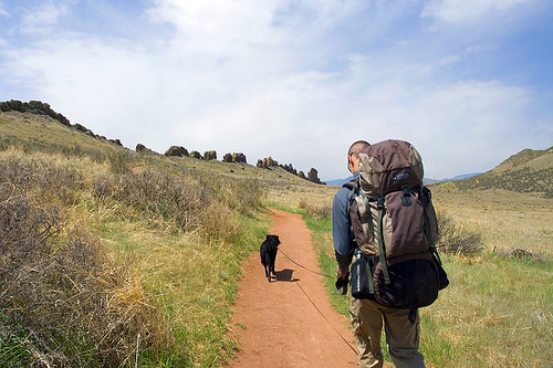
As we’re training for an upcoming attempt on the Grand Teton, we hiked through the open space with our climbing packs laden with gear and water. The trail was packed with hikers compared to what we usually see, but, surprisingly, nobody wondered why we were carrying huge packs on a trail with no camping or climbing permitted. Or, at least, nobody asked us.
The Devil’s Backbone open space has a nice network of trails open for mountain biking, horse riding, and hiking. They run north along the hogback and connect to the Coyote Ridge Natural Area (south of Fort Collins) and eventually even to the network of trails in Horsetooth Mountain Park. Mark and I knew we could walk as far as we wanted to, which was really nice for a day that we had already pretty much spent in the car.
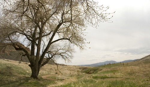
We walked north following the left side of the three loops along the trail, and enjoyed a warm, sunny afternoon. We stopped for a break and to relax in the shade at a lovely grove of cottonwoods about 4 miles out from the trailhead, and a mile or so from Coyote Ridge. After our break, we headed back taking the other side of each loop on our way south. To the best of our calculations, we covered 8.2 miles in about 3.5 hours. It was a very nice end to a rather icky morning. And it only took us 15 minutes to drive home.